|
Saturday, July 6 We made an attempt to go into the Olympic National Park today and drive the Elwha Road up to the Glines Canyon Spillway Overlook. Sign: NO VEHICLES. New Plan: Lower Elwha Klallam Indian Reservation on the coast at Angeles Point. GOT LOST. We settled for going back to the Silvermine, having lunch, and being lazy all afternoon at the campsite! Heaven! For supper we went out-to-eat for Italian Calzones! RESTFUL DAY! (Just for the record: the clouds hung low over every hill and mountain and once again it would not been a good day to see the Olympic range.) Sunday, July 7 We had a slow schedule to follow today: it was only 39 miles to the ferry at Port Townsend, and it didn’t leave until 1:00. The 7-mile ferry ride was the shortest way to cross Puget Sound! 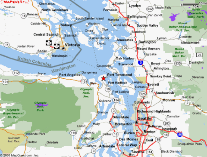 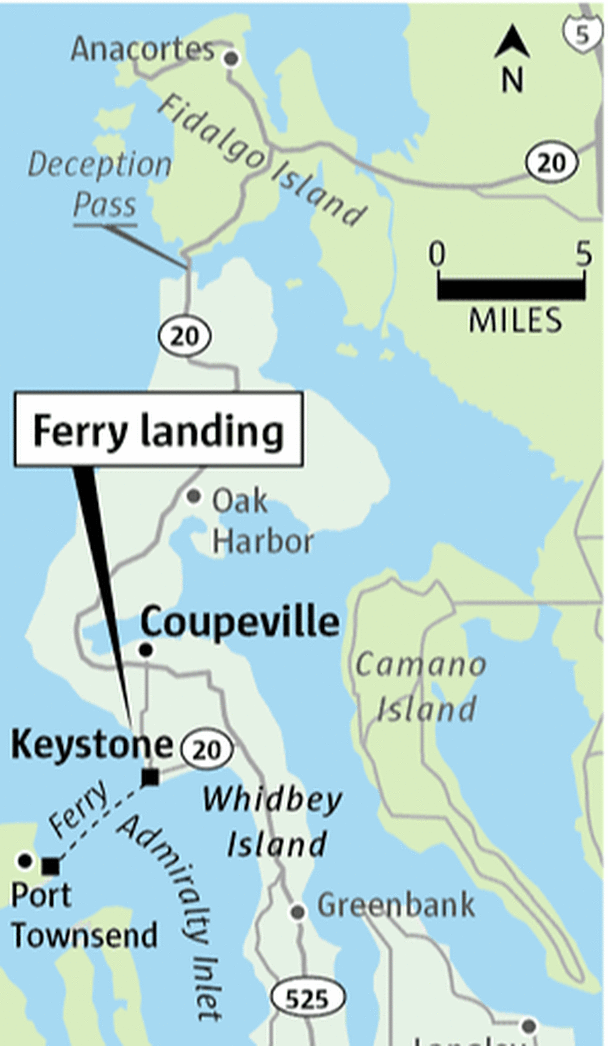 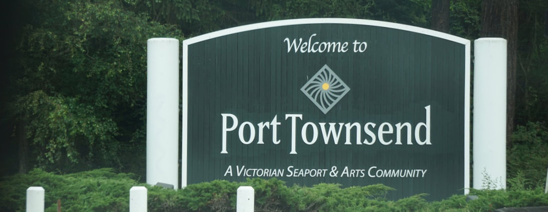 A mile from the ferry we stopped for groceries and across the street was a sea food market tempting us to buy two more live crabs. The guy told us they were the feistiest crab they have had -- so lively that they couldn’t even get bands around the claws! I think this was his form of a disclaimer in the event of injury!! 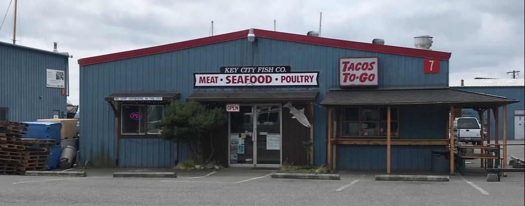 At the dock we were able to get on an earlier ferry. I quickly fixed us a snack lunch to eat in route. I stayed in the van for the crossing, and Tom went up on deck and took pictures. 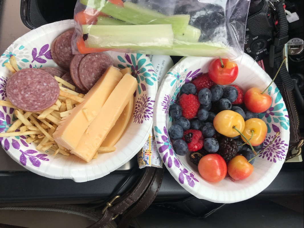 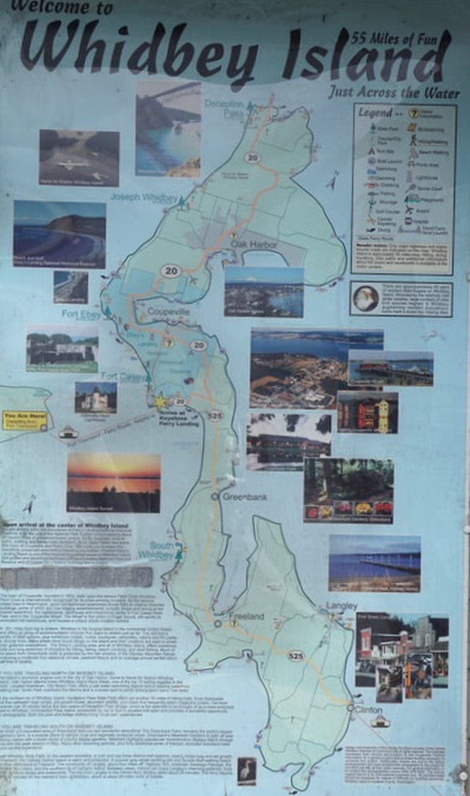 Behind us in the ferry line-up was a cute little Bambi Airstream with this license plate! 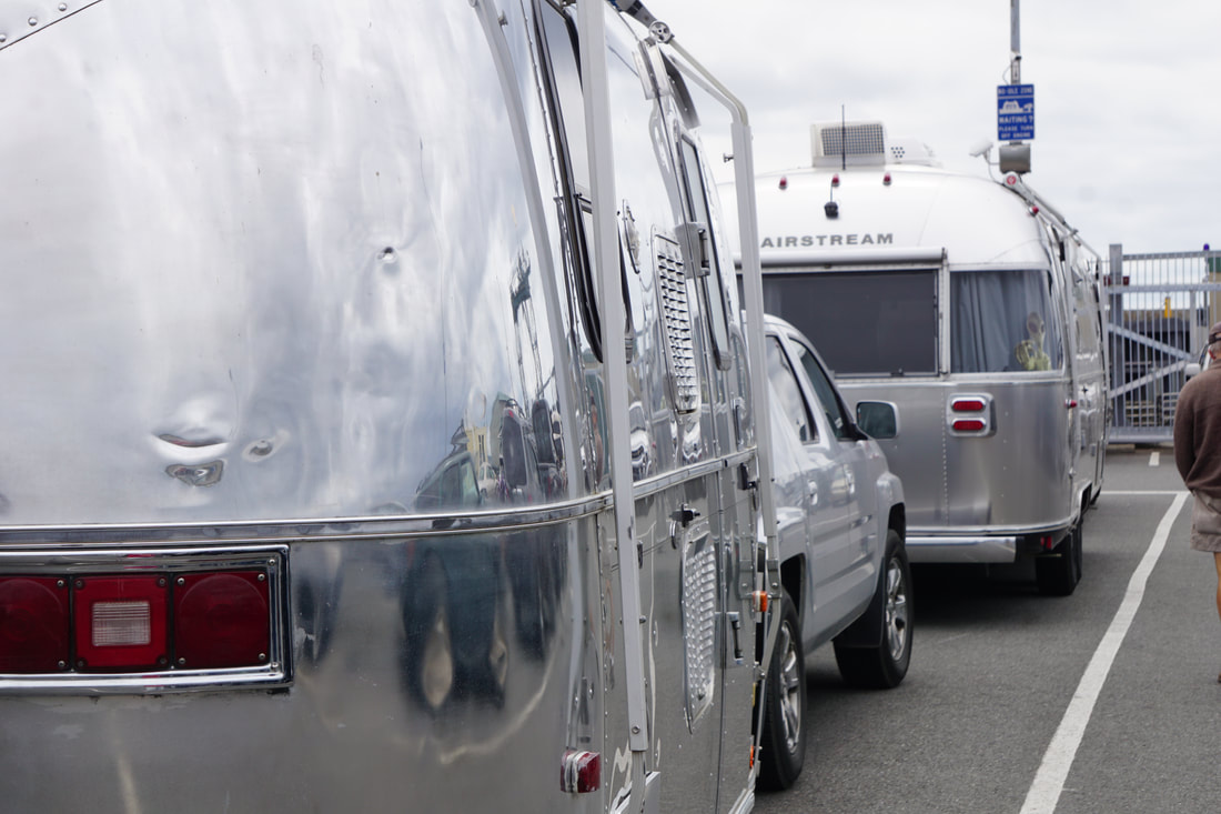 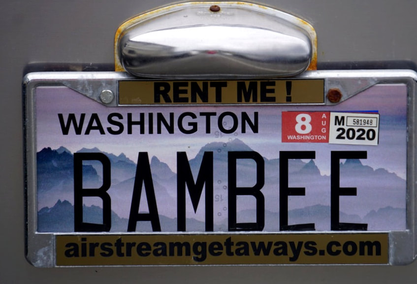 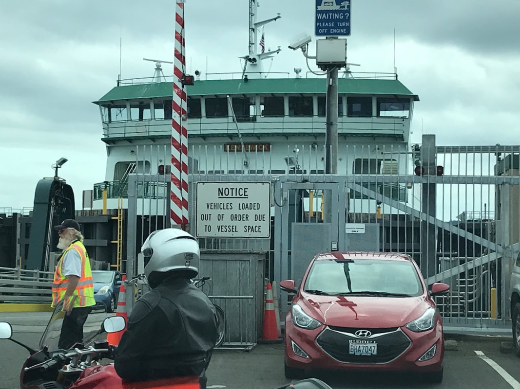   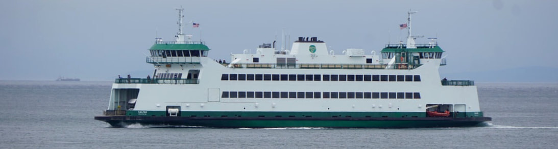 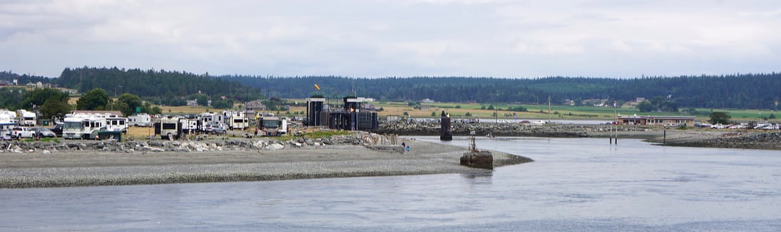 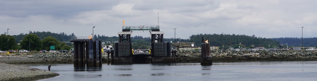 On the other side (30 minutes, 7 miles) we just had a 25 mile drive thru Oak Harbor and on to Deception Pass State Park and Cranberry Lake Campground. It is forested with large, old forest, and our campsite is amazingly open on the ground level – and tightly closed in the far upper reaches of the canopy. The whole forrest floor is just soft sponge and pine needles, with little trails and hills that connect the sites at the far back. Kids have discovered that it is a wonderful little bike play area and they are zipping around and flying high in the air. If they crash -- the ground is almost like a gym mat! 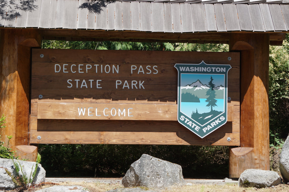  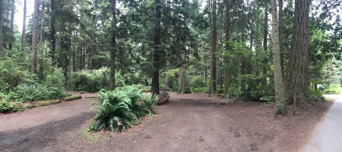 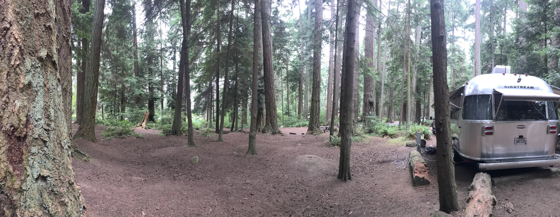 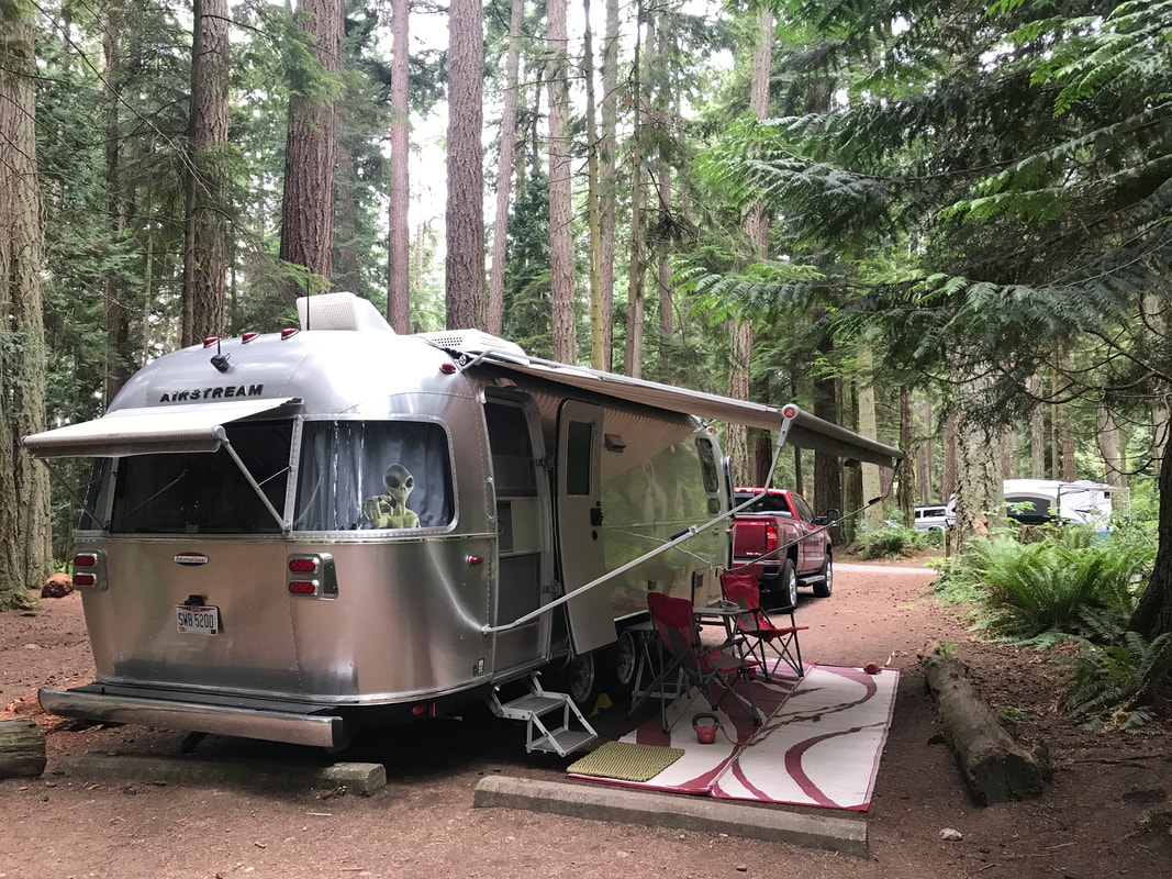 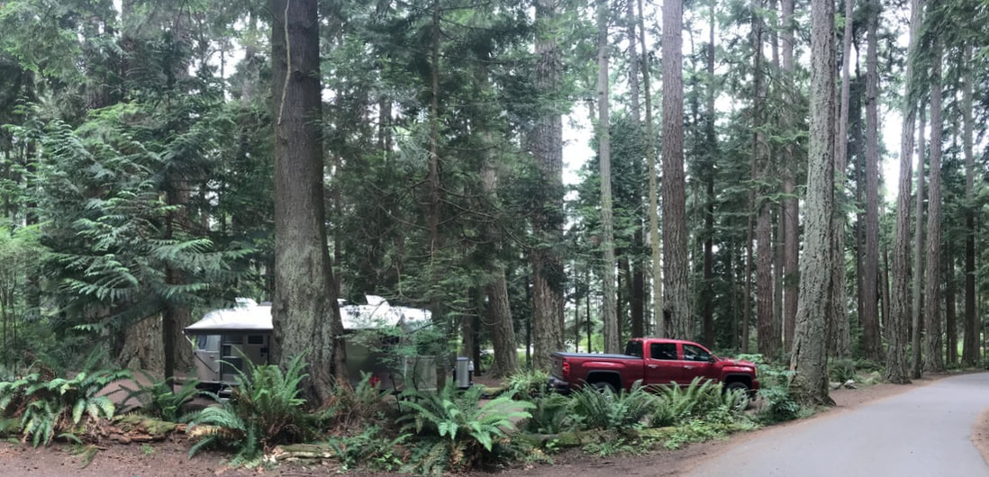 The campground roads are very narrow as seen in the first picture. In the second picture you can see where RVs scraped the side of the tree! 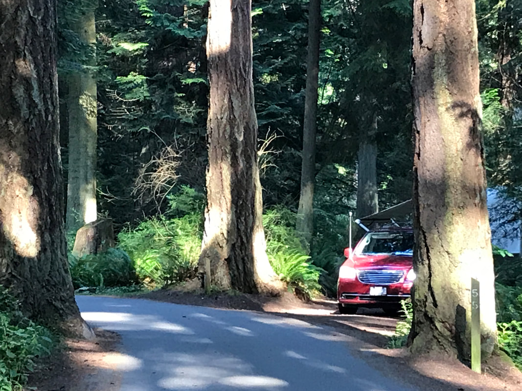 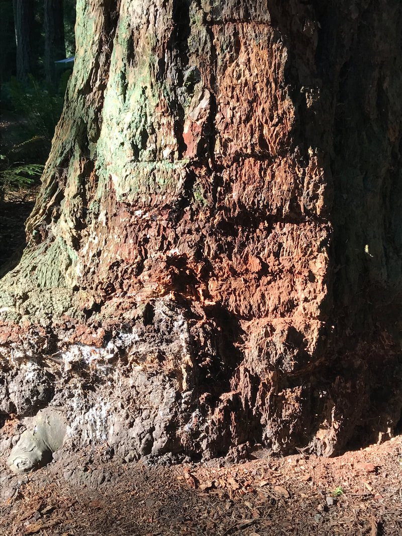 We headed out on a quick trip to scout out the area and had time to do a short hike through the forest and up to the Deception Pass Bridge. Until the bridge was built in the late 1980’s the only way onto the island was by ferry. We found it to be a stomach-dropping bridge, and we opted out of walking the people sidewalk over it – mostly because of the dogs. Maybe we will go back tomorrow.   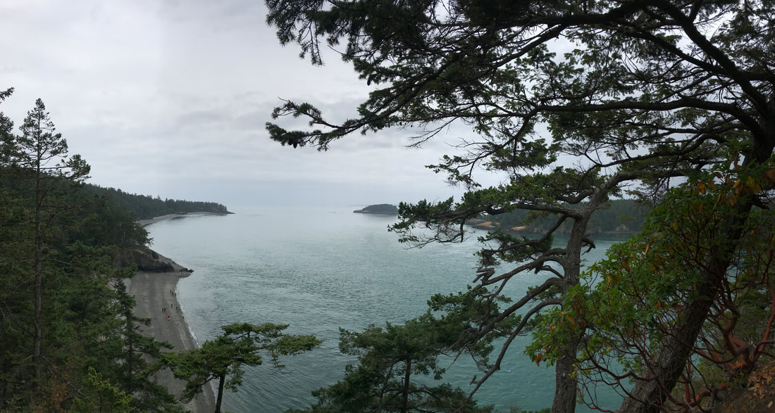 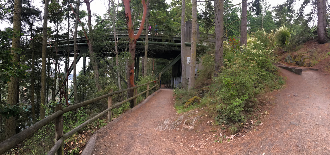 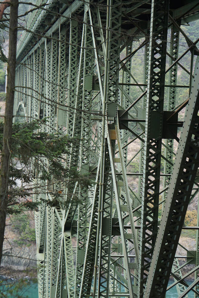 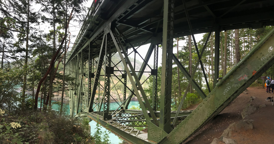 Tonight we are cooking our two crabs, and this will probably be the last that we get to enjoy this treat – live out of the ocean! 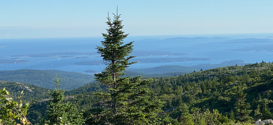 Monday, July 8 Tom went to bed with, and woke up with, a swollen ear that was red, throbbing, and hurting down into the neck. Our first order of business was to find a Redi-Med. He came out two hours later with diagnosis of an infection that needed treatment. There was another wait to get the prescription filled at WalMart, and a bit of a hassle over the insurance. All in all, it is amazing how fast we can get a doctor and treatment when we are traveling before things get out of hand! We ate lunch at a Burgermiester Drive-Inn, found a fish market to pick up some scallops and shrimp for supper, and headed back to the Silvermine by mid-afternoon. We did decide to walk the bridge today. We left the dogs in the camper, and drove to the top of the bridge where there were some parking spots. We swallowed and shuffled and breathed deeply, and managed to make it halfway out on the larger bridge (there are actually two bridges) for pictures. On our side of the bridge the sun was shining directly at us making it hard to get good pictures. Later, we drove over the bridge and got pictures of the other side from the car. 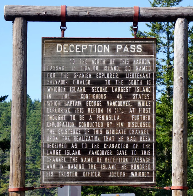 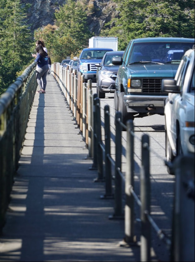 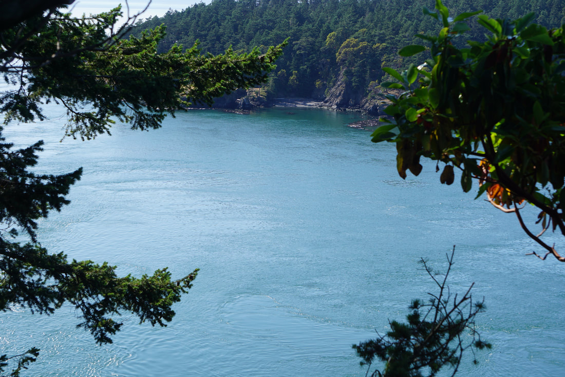 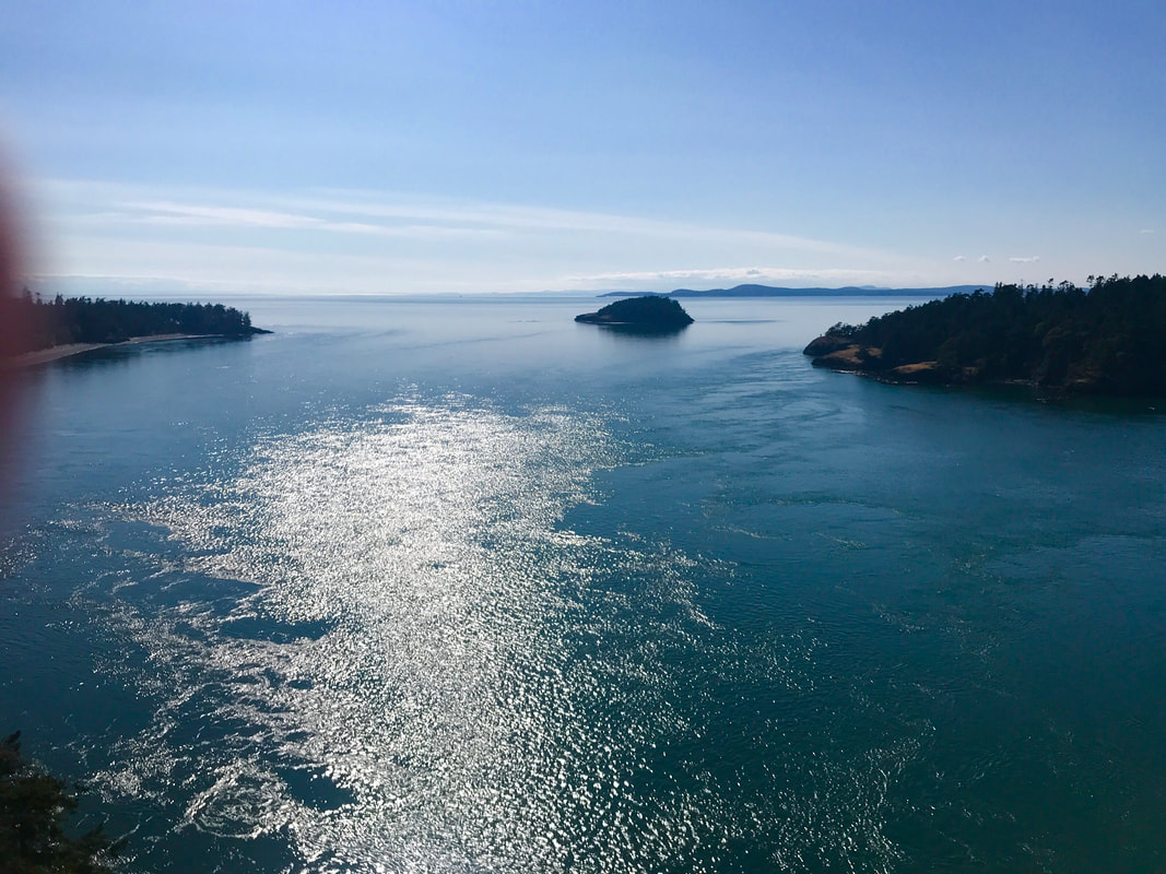 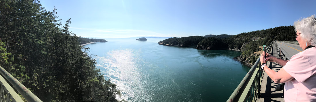 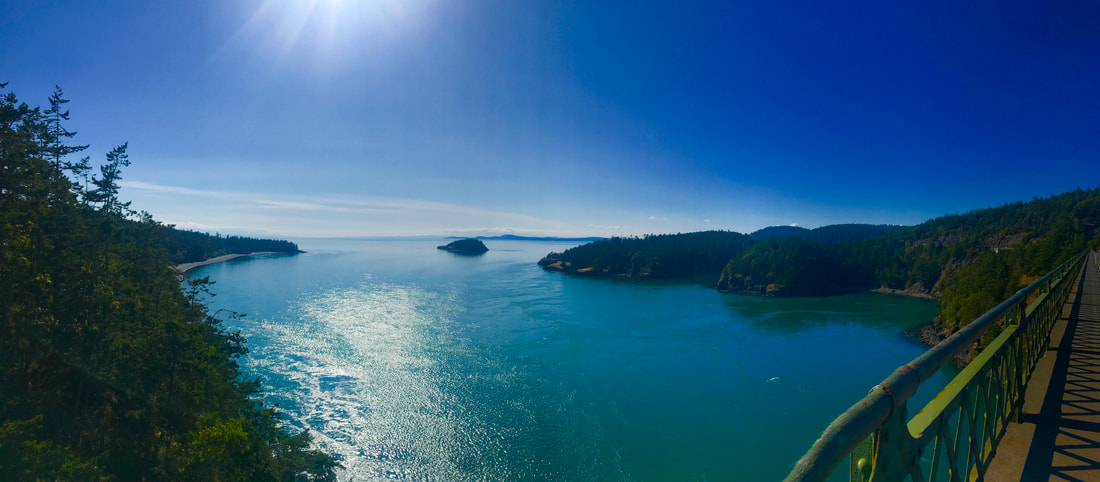 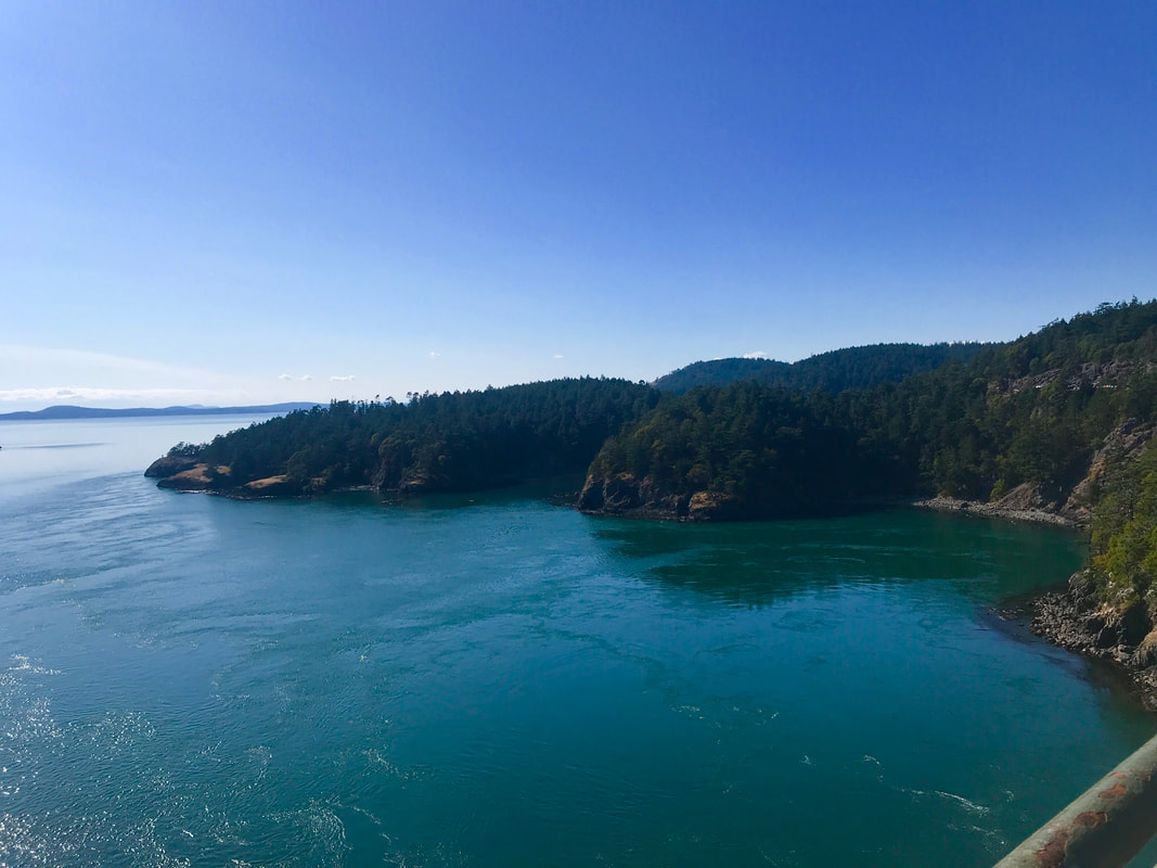 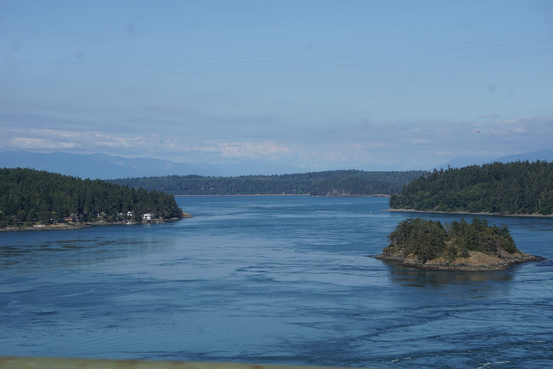 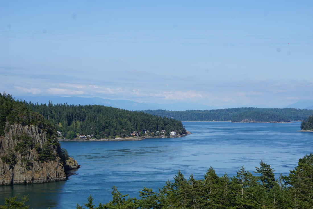 From there we drove down to the beach below the bridge for more pictures. The beach had lots of drift-wood (protected from scavenging), rocks, some sand close to the water, and great views of the bridge. The water was in turmoil as it went under the bridge . . . for no reason apparent to us.  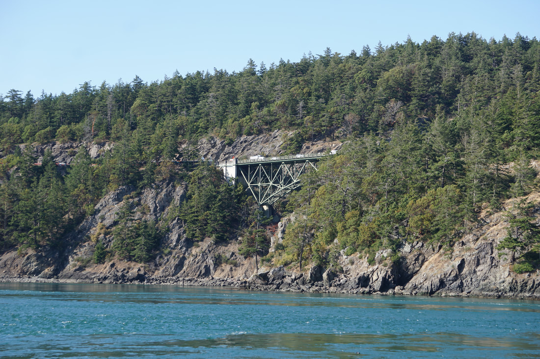 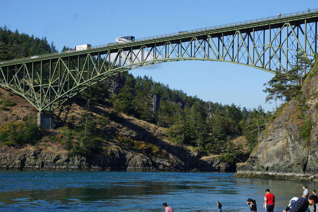 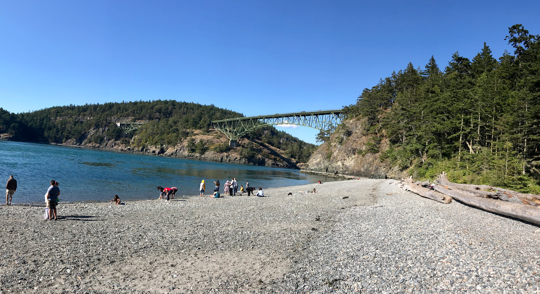 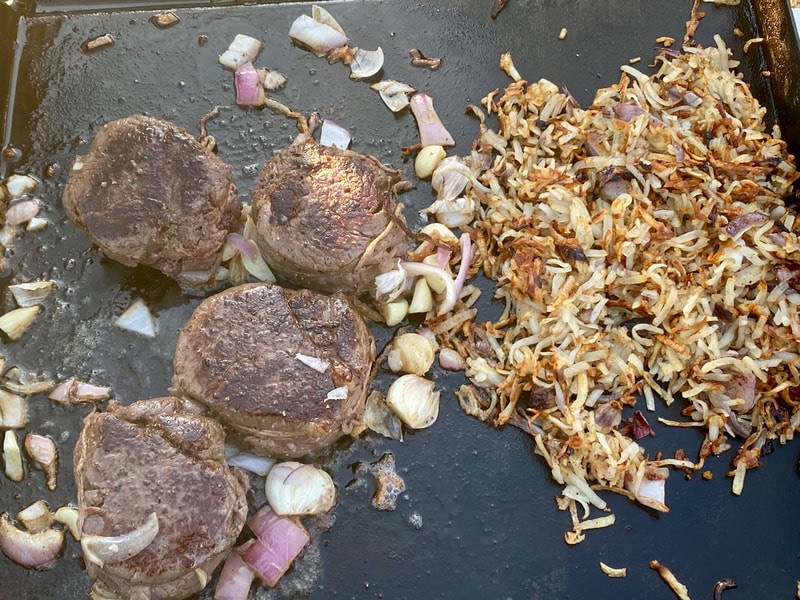 With that we went back to the Silvermine to confront the shrimp that we had brought earlier in the afternoon. They were different than “east coast” shrimp that we were used to – smaller, and brightly colored . . . we couldn’t wait to try them. We have had fresh/raw shrimp before, but never have had shrimp that were still moving! Tom cut the heads off and prepared the water to boil – 4 minutes! They were wonderful! 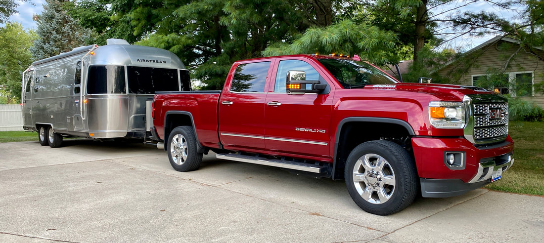 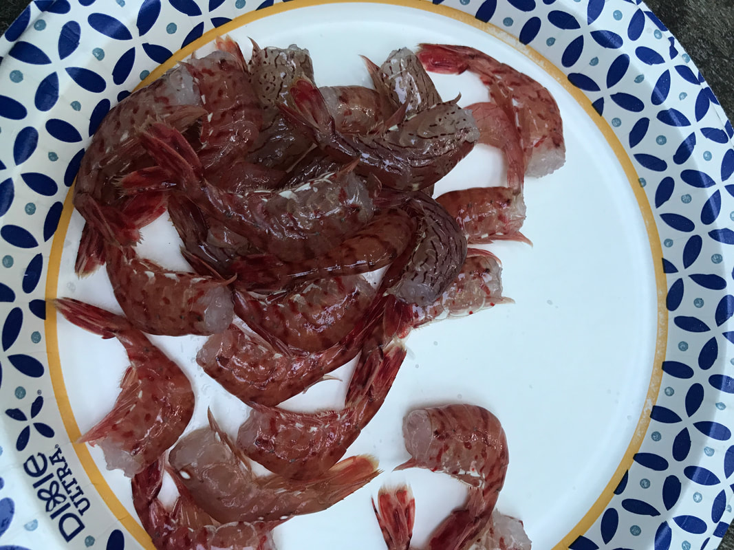 Tomorrow we move on along . . . and have a very special lunch in the works!
0 Comments
Friday, July 5 Olympic National Park is a very limited access park; US Route 101 encircles the park and there are a few access roads that lead a short way into the interior. No roads go through the park! Our destination today was Hurricane Ridge, and our access road left directly from Port Angeles. The morning was gray, light fog and mist, and 55 degrees . . . very typical weather for this area! At the entrance station to the park there was a line-up of cars! 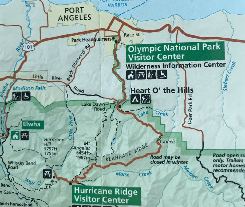 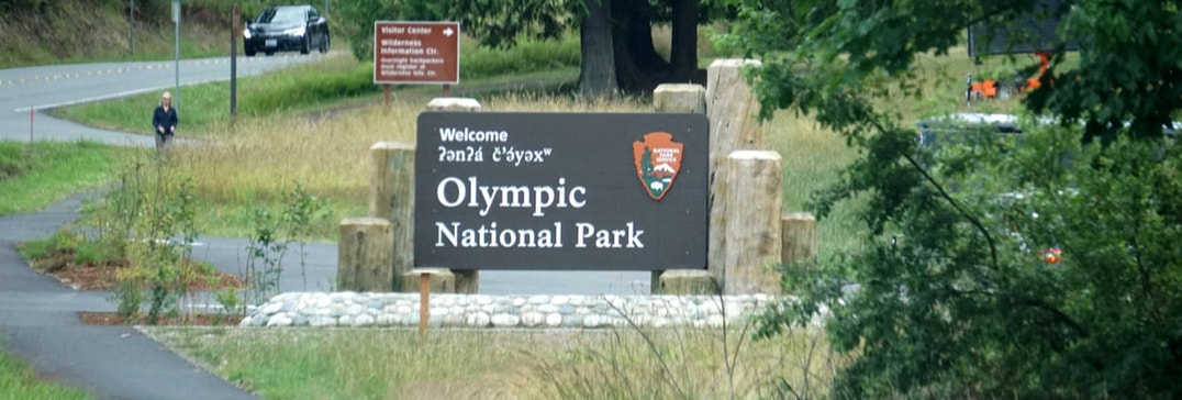 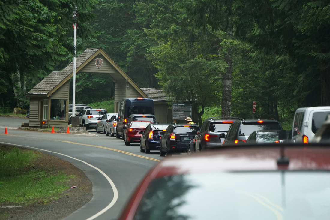 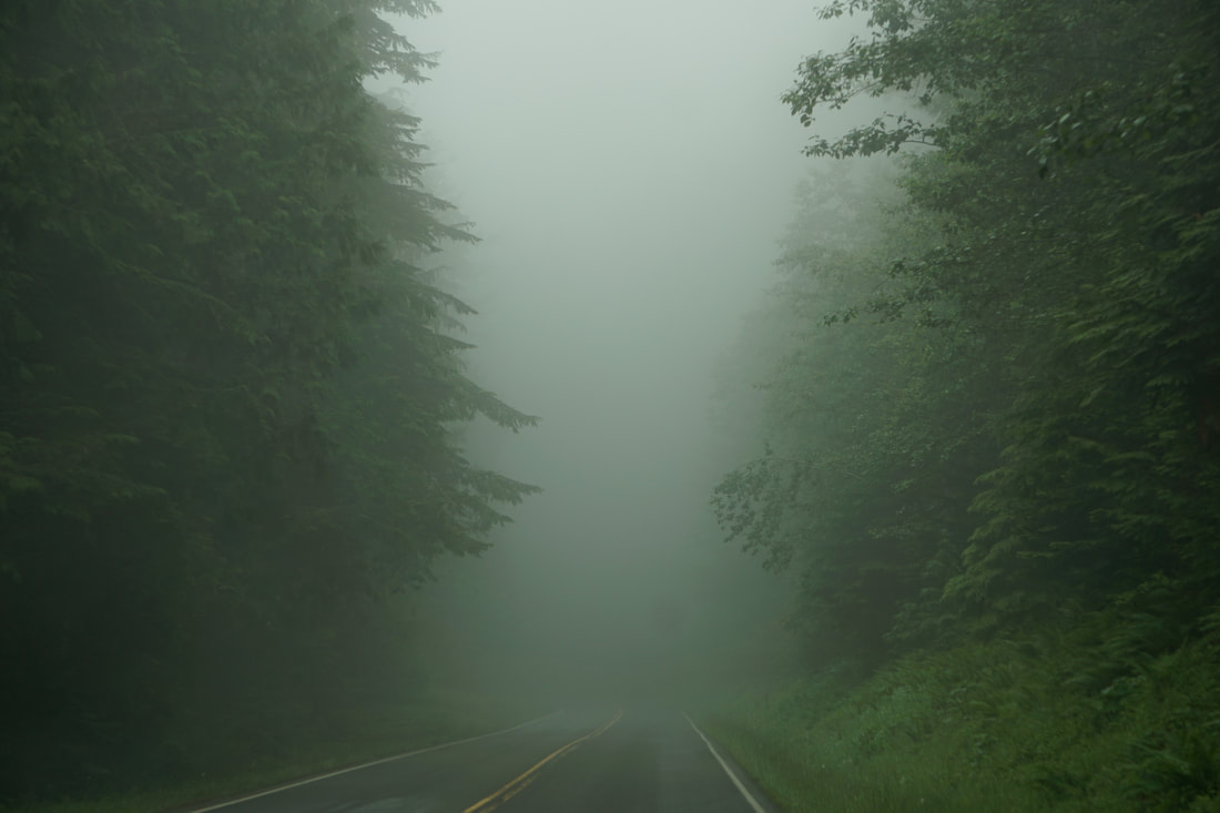 The road was 17 miles of twists and turns, thick fog . . . and views we could not see. At the top the Hurricane Ridge Visitor Center sat perched on a mountainside – with fog banks moving in and out. We could catch quick glimpses of distant valleys and mountain ranges just to have it disappear in a total whiteout. 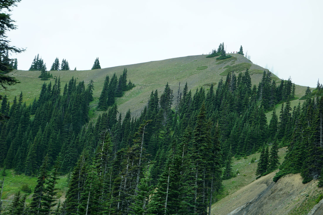 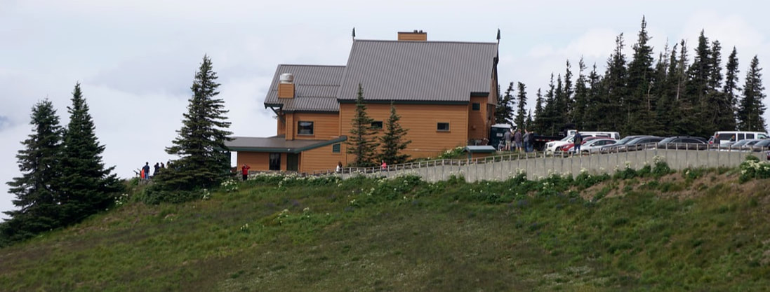 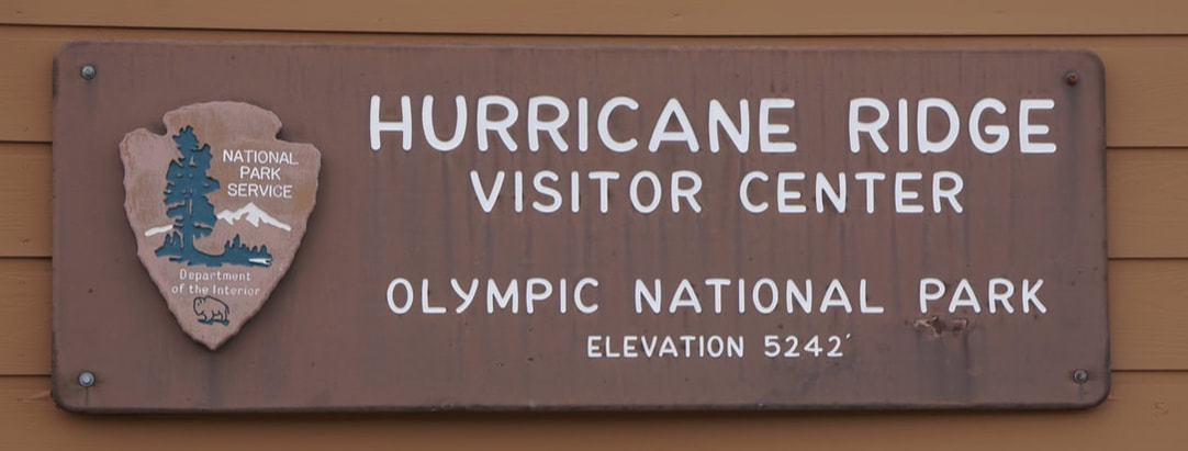 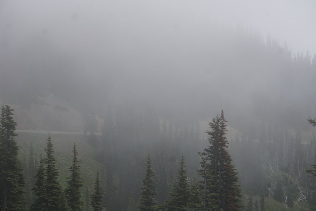    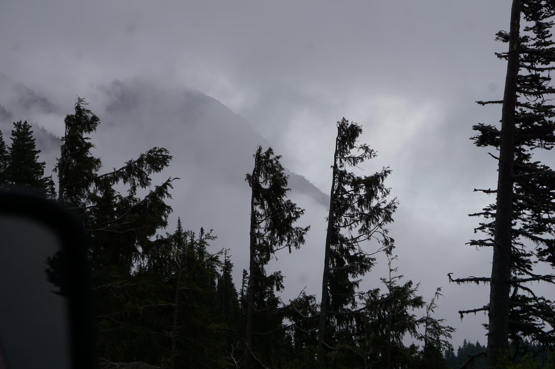 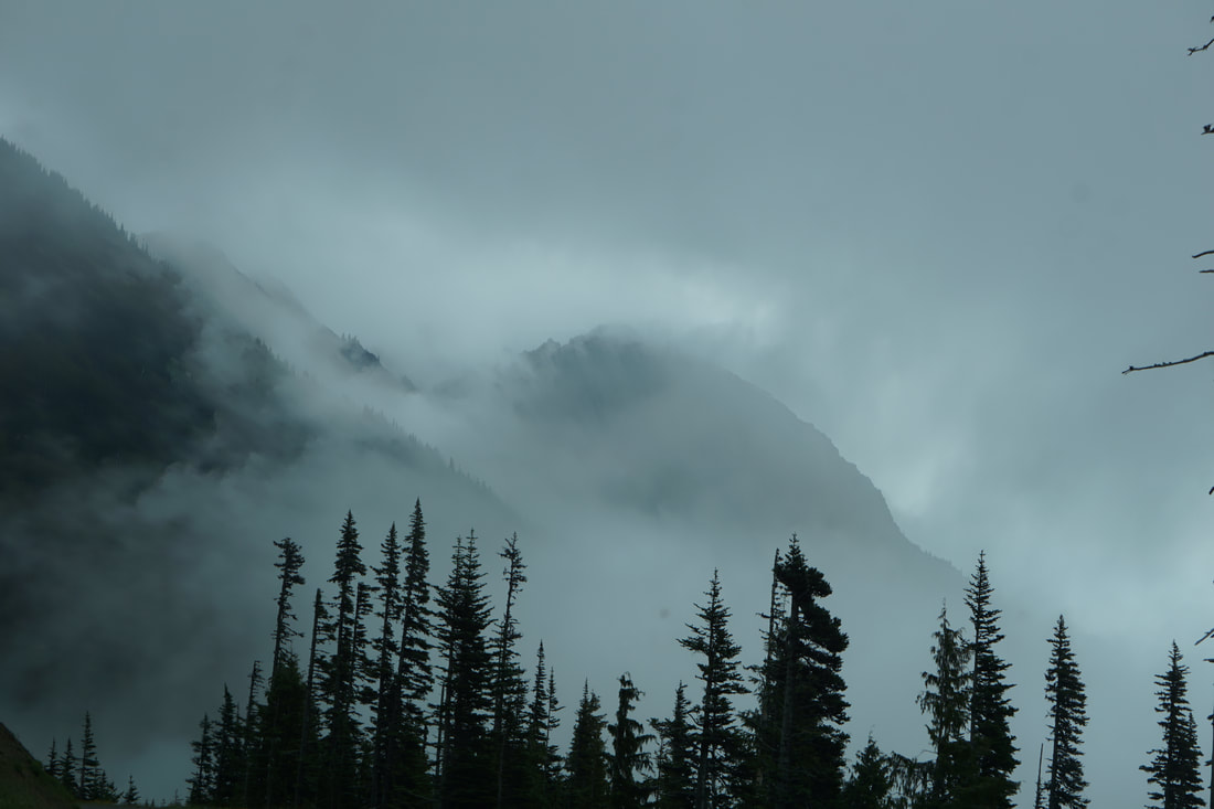 The visitor center had some nice exhibits, a “gotcha” gift shop and a snack bar. We bought lunch and dined on the patio overlooking . . . the valley of fog! As we sat there, I listened to the many different musical languages all around us. The National Parks are always a great place for diversity, but the Pacific Northwest best represents the multiplicity and presence of international travelers. 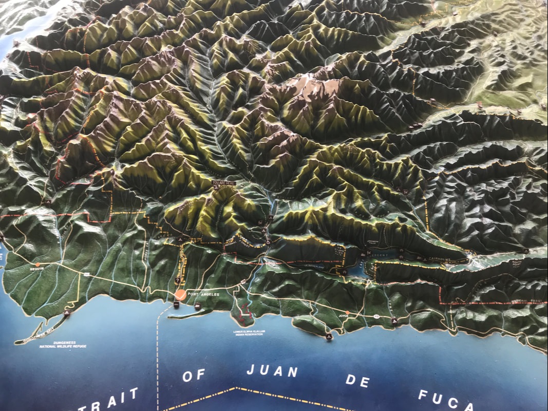 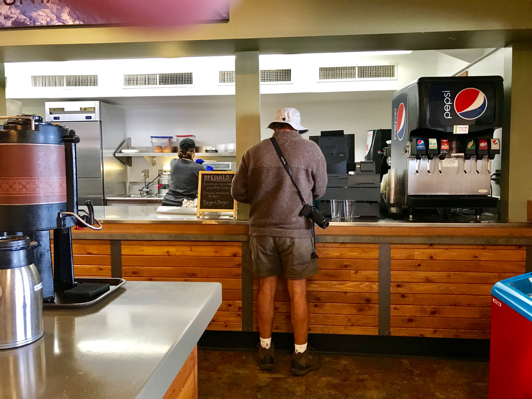 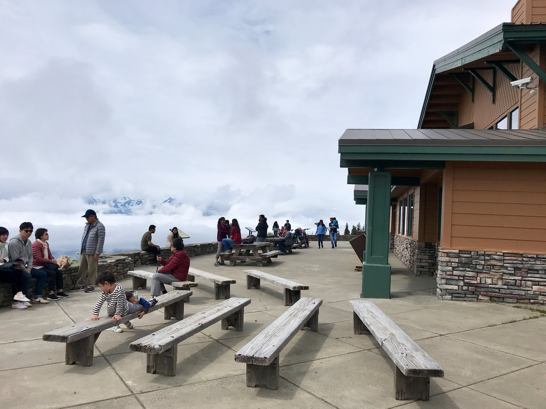  The fog did not let up, and Tom was not exactly anxious about heading back down the mountain . . . this time on the cliff side of the road! This is getting to be the norm for our daily drives! We had time to explore another couple areas in the park: Lake Crescent and the beautiful lodge, and Sol Duc Hot Springs Resort. Lake Crescent borders Route 101 on the southern side. The Lodge and surroundings had the same feeling as the Adirondack scenes from our trip last summer! There was a picturesque lodge, a beautiful open lawn by the lake, and a pier. 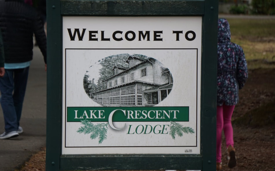  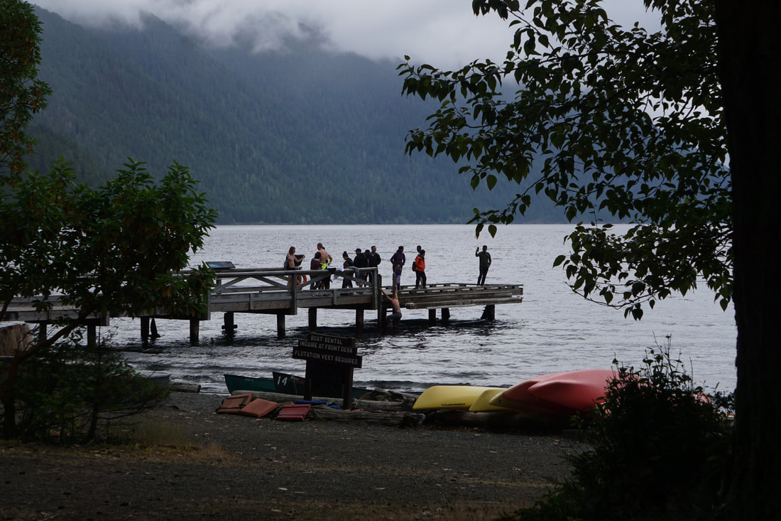 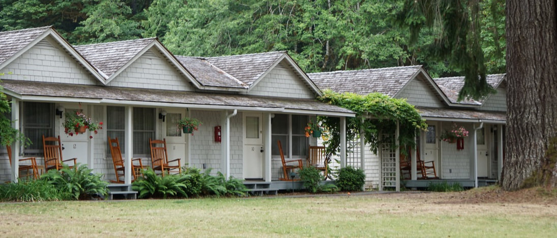 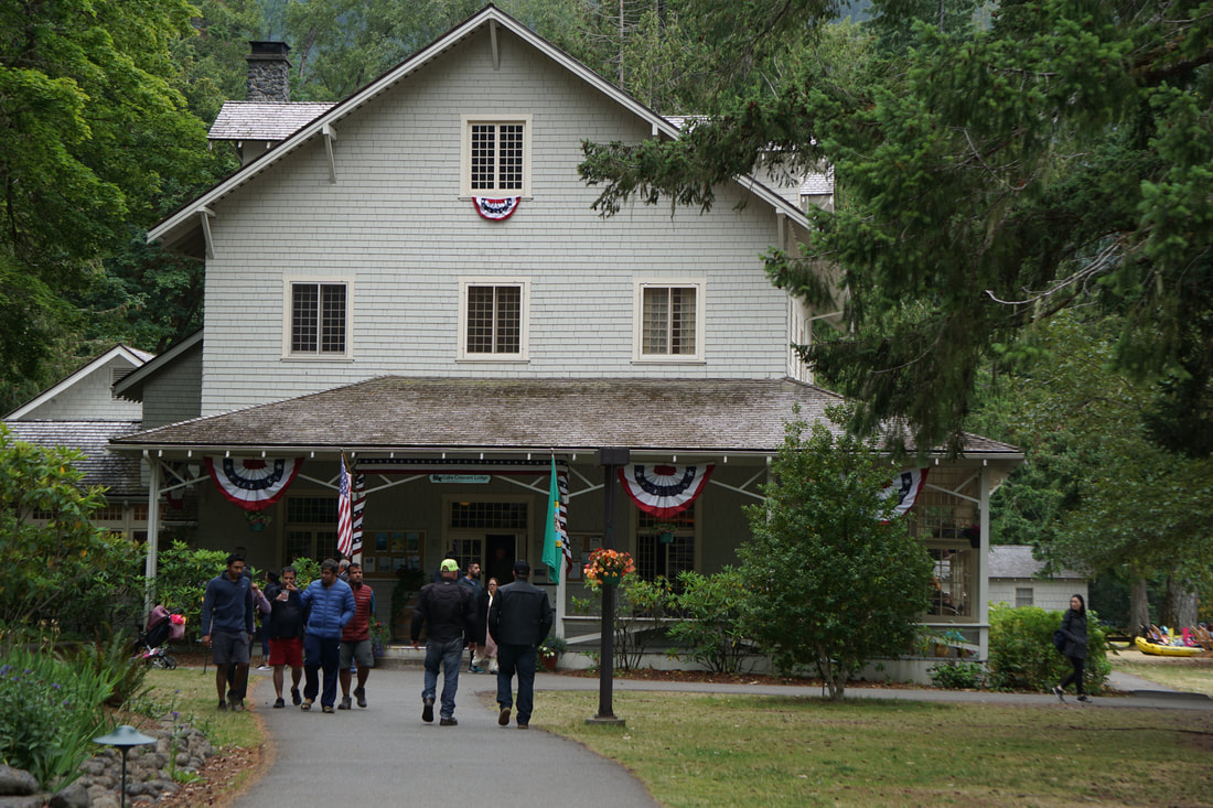 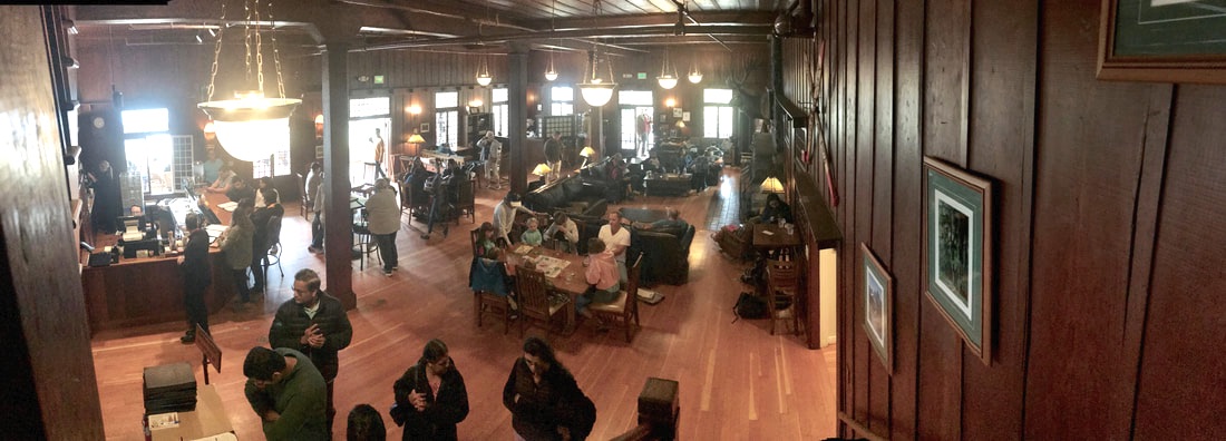 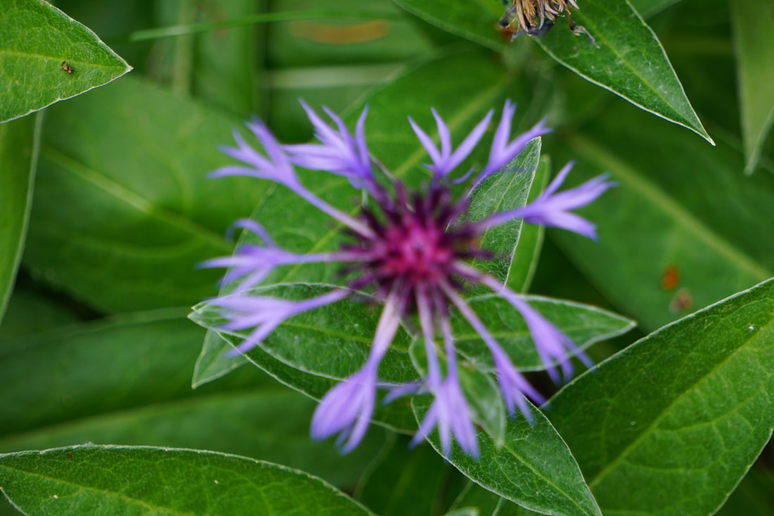 Down the road was the Ancient Groves Nature Trail . . . another showcase of old-growth grandeur. The upper canopy is itself a habitat, as is the forest floor. Large downed trees are nurse logs to new seedlings and growth. The whole thing is painted in 50 shades of green! It was another beautiful hike! 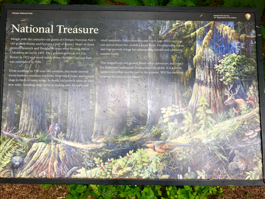 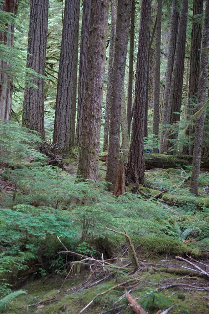 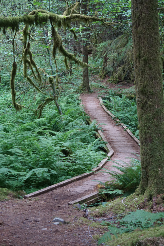 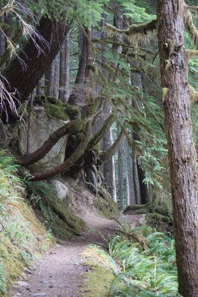  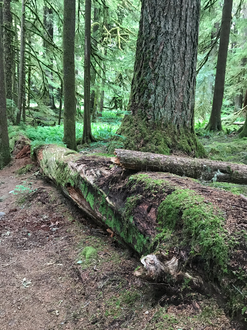  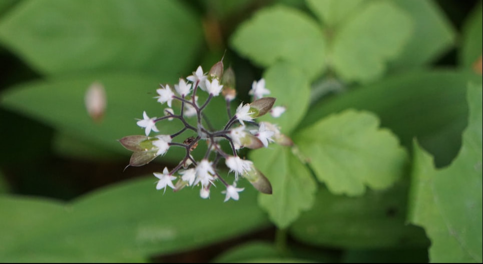 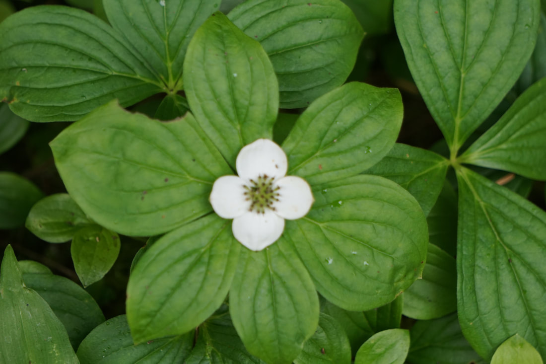 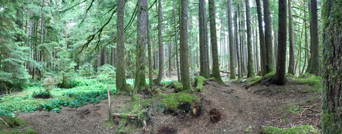 Sol Duc Hot Springs Resort was interesting. It was a large, very nice lodge that had a gift shop, dining room, and entrance to the large hot mineral bath, swimming pool, and changing rooms. Outside were individual cabins for overnight guests – they didn’t seem to be very special from the outside. All in all, it was a “resort” a little on the downhill side of what it may have once been. Nearby was a campground aligned with the resort – truly just a gravel parking lot with hookups. There was also a full-fledged National Park campground, and those sites were beautiful. Tom had tried six months in advance to get a site, and they were all taken! 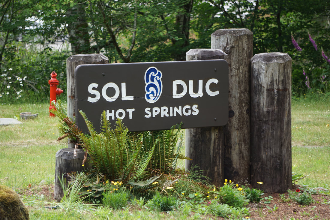 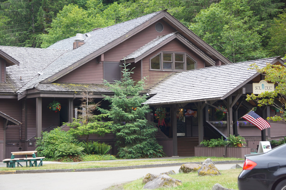 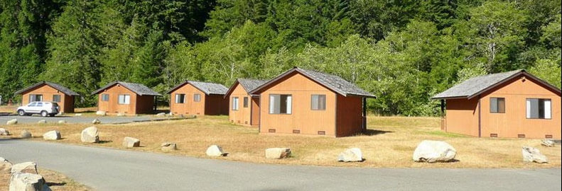 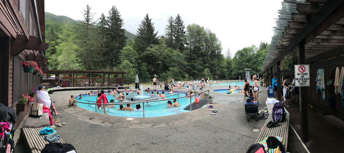 Sol Duc was our turn-around point, and we had 47 miles to drive back to our campground . . . and a king salmon filet to cook and eat!
Wednesday, July 3 It was sad to be leaving Mt. Rainier . . . but exciting to be heading for Mt. Olympus and Olympic National Park! We drove south and west over to Interstate 5 and turned north. After only 10 miles traffic backed up in the town of Chehalis. It was lunchtime, and we figured traffic would clear out if we stopped to eat. Inside the Jack-in-the-Box restaurant we heard there was an overturned tanker on the Interstate, and it would be blocked all day! REROUTE! The problem was that there was not a lot of route alternatives. And, everyone else was clogging up the ones there were!  We drove WAY out of our way west on Route 12 (all the way to the coast) and then cut back east before getting, more or less, back on track. This little detour added 3 hours to our trip! Still, we arrived in Port Angeles at our KOA by 5:00. 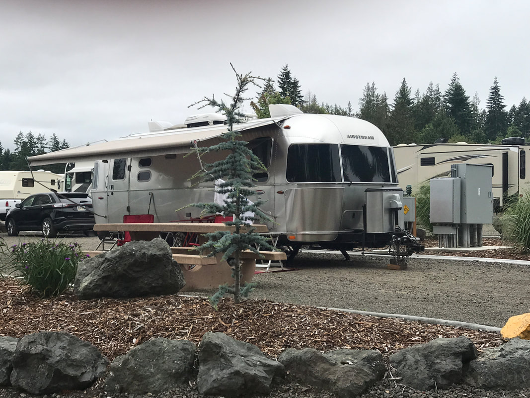 We were glad to have full hook-ups and all the other KOA amenities . . . but missed the deep-woods setting. We made the best of the situation by dumping the tanks, cleaning the trailer, taking showers, and even washing the dogs! Everyone went to bed clean, content and tired! Tomorrow we start exploring! 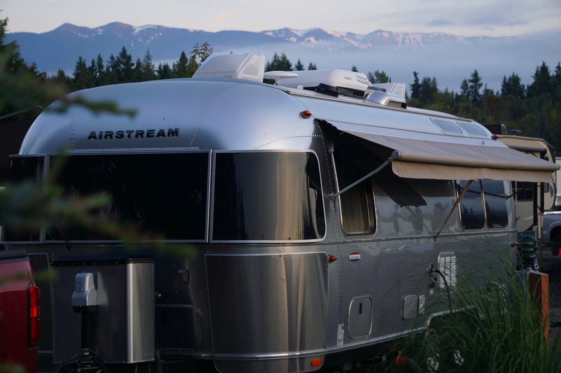 Thursday, July 4th Today – July 4th– starts our 5th week of vacation! We started out in the morning to visit a fish market and got sidetracked when we saw a sign for Olympic National Park Visitor’s Center. It was only 9:30, but a lot of people (over 50) were lined up out the door and down the sidewalk. . . to get hiking and backpacking permits! We ran in and grabbed some park maps to orient ourselves, and decided we would come back later to see the exhibits and view the movie. On to the fish market! We went right for the King Salmon; at $20/pound it was more than twice as . . . “good” . . . as the Coho at $8/pound! We also bought two large Dungeness Crabs – considerably cheaper than what we have been paying at $10/each! We ran our catch back to the Silvermine, and set out again following the Strait of Juan de Fuca up to Cape Flattery . . . about 60 miles. 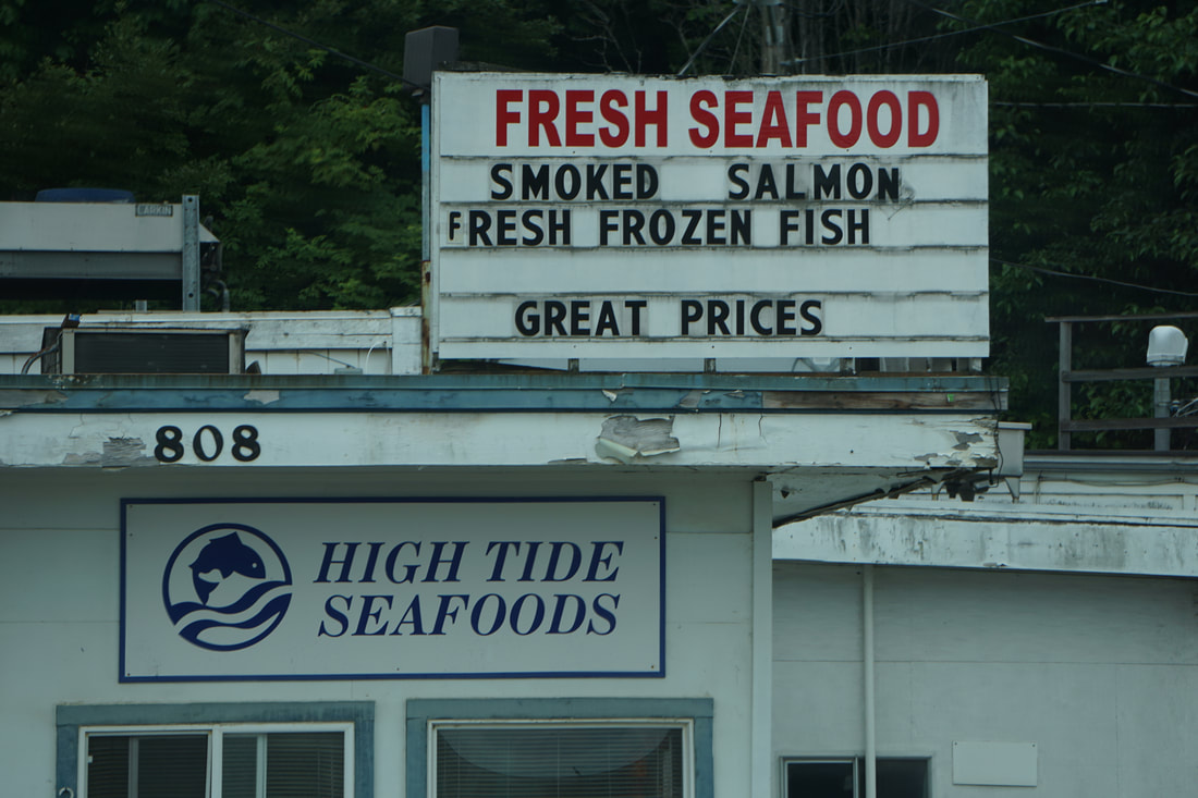 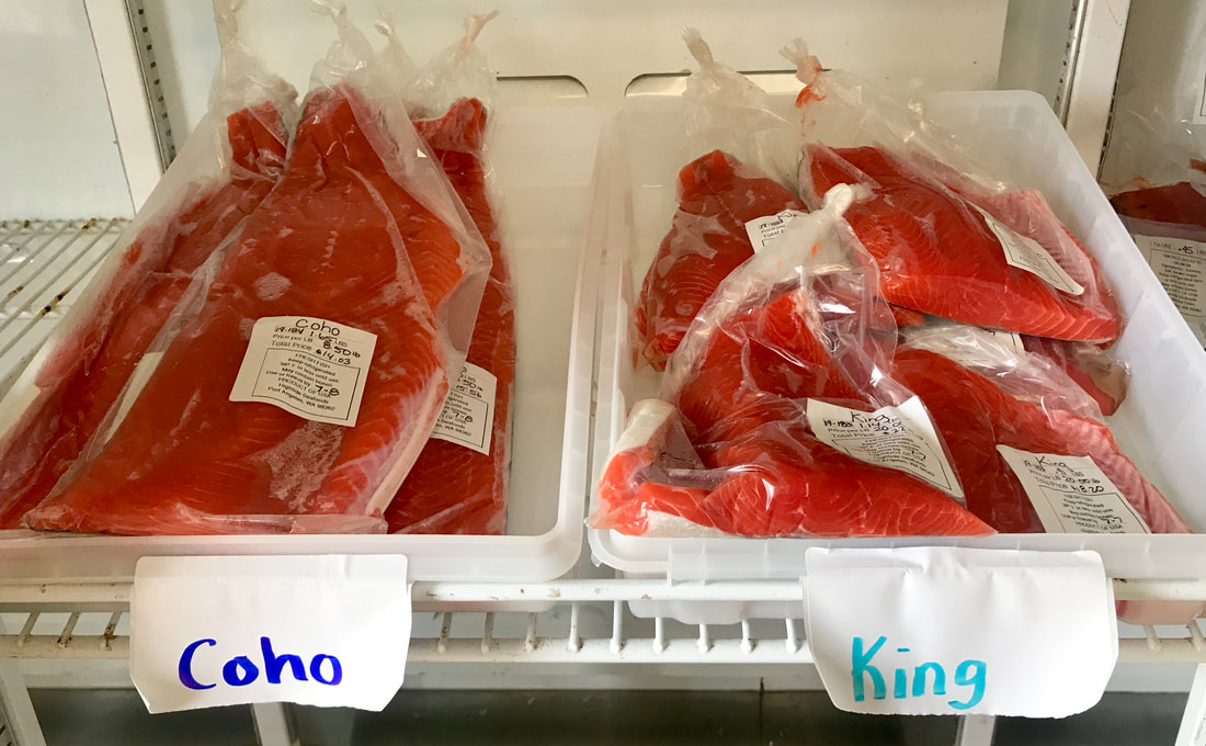 Route 112 (The Strait of Juan De Fuca Highway) along the coast is wooded and only offers an occasional view of the water. Later, we read that the area is logged which accounts for all the different growth levels of the trees we saw, and some large sections where trees had not been replanted yet. The sky was overcast and the temperature hovered at 60 degrees. We stopped at several scenic viewpoints along the way. 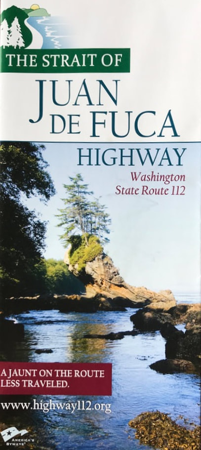 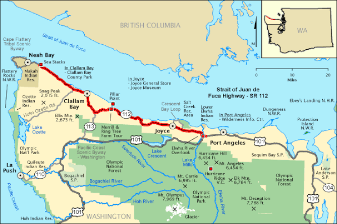 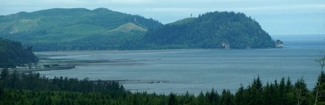    In the little town of Clallam Bay we stopped to eat at the Breakwater Restaurant. Tom had the Senior Fish dinner, and I had the Toasted Crab sandwich. 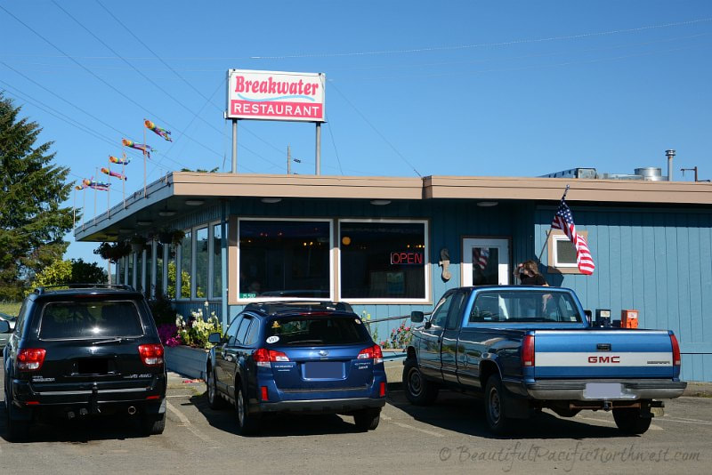 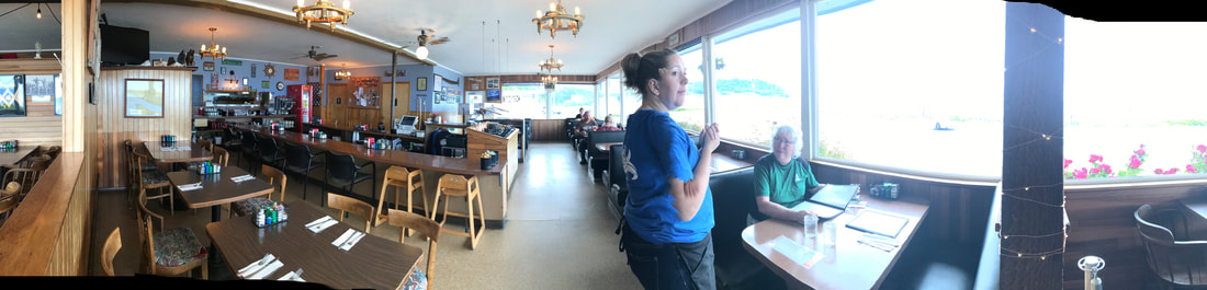  During the last 12 miles of the drive, the trees thinned out a bit giving us nice views of the Straight of Juan De Fuca. The end of the trail was Neah Bay and the Makah Indian Reservation. The main street was blocked off for 4th of July celebration, and we skirted our way along secondary streets, and continued up to our final destination . . . Cape Flattery. 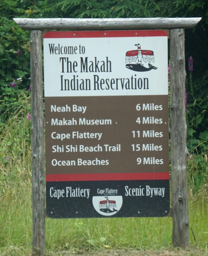   We did the Cape Flattery Trail with the dogs! The sign said it was a half-mile long, but I think it was more than twice that. The sign also said it was "moderate exertion" and that was the truth. Some of the trail was a wide forest path ranging from smooth and easy to uneven with lots of root-ruts. Other parts were a boardwalk of planks -- with spaces between the boards that played mind-tricks on me, and caused the dogs to fall through! There were a few level places, but mostly the trail headed downward to the coast. It was a beautiful forest walk! 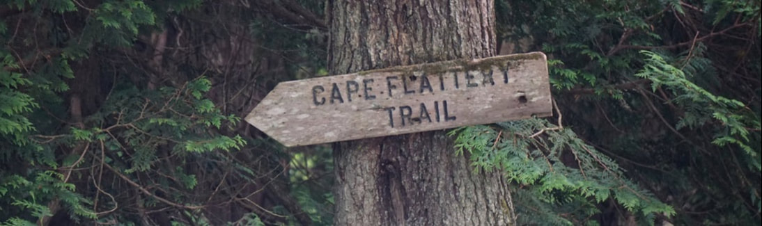 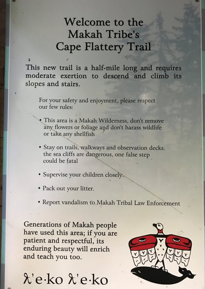 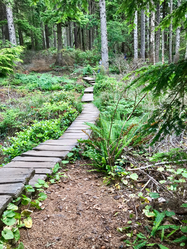 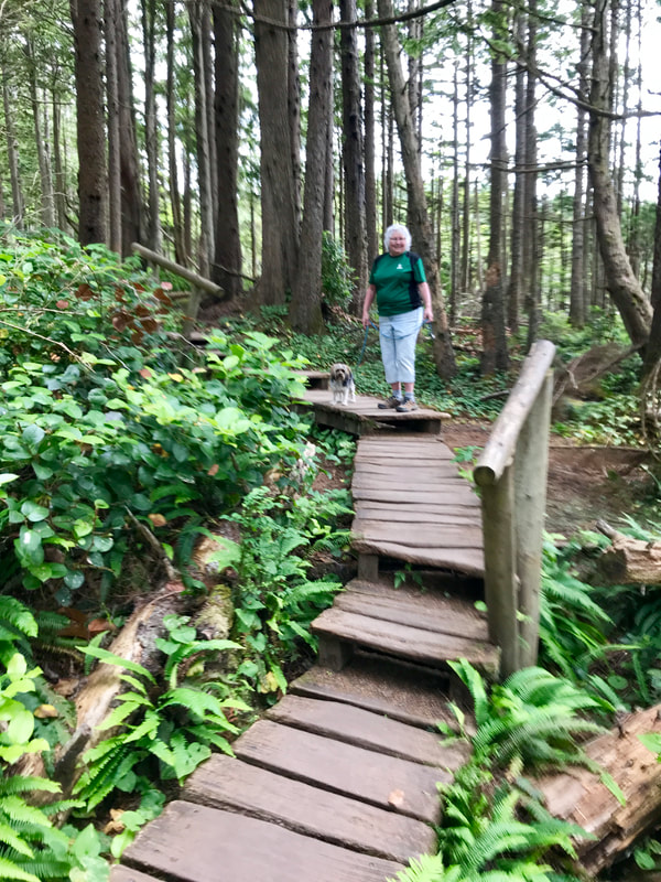 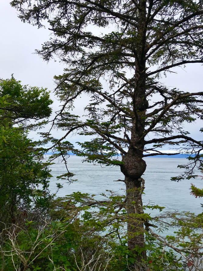 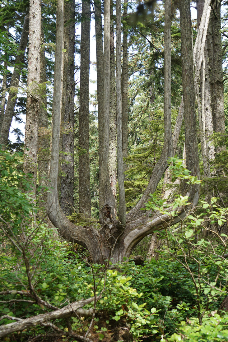 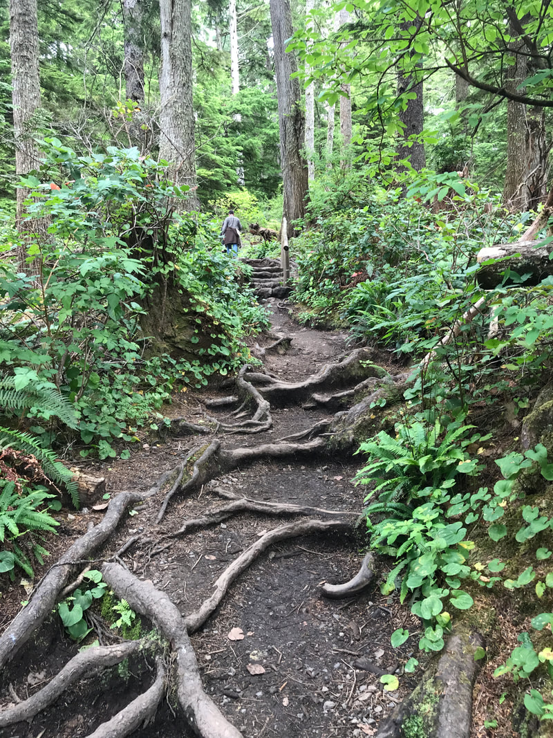 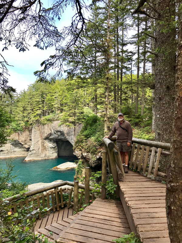 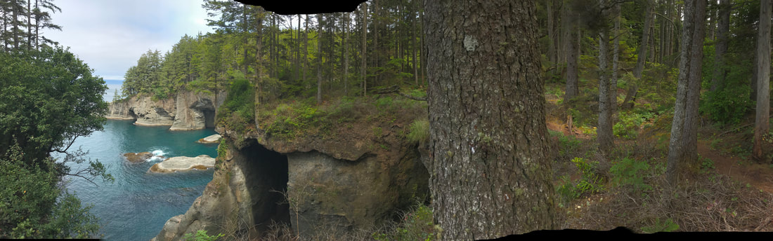 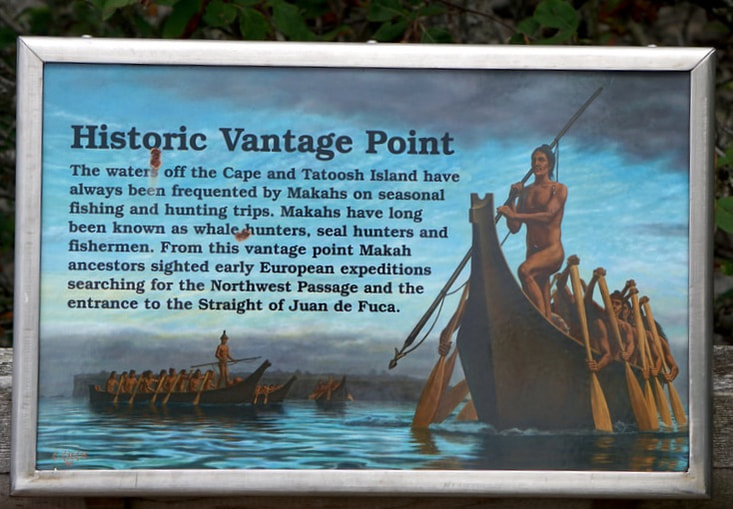 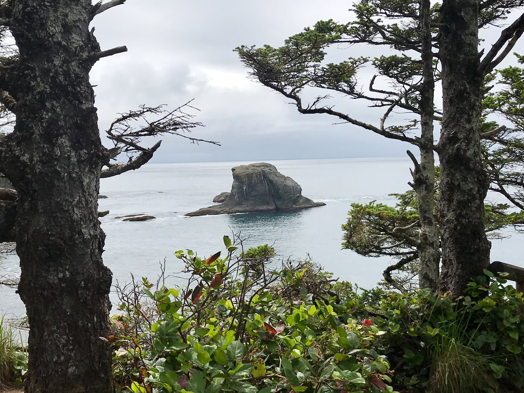 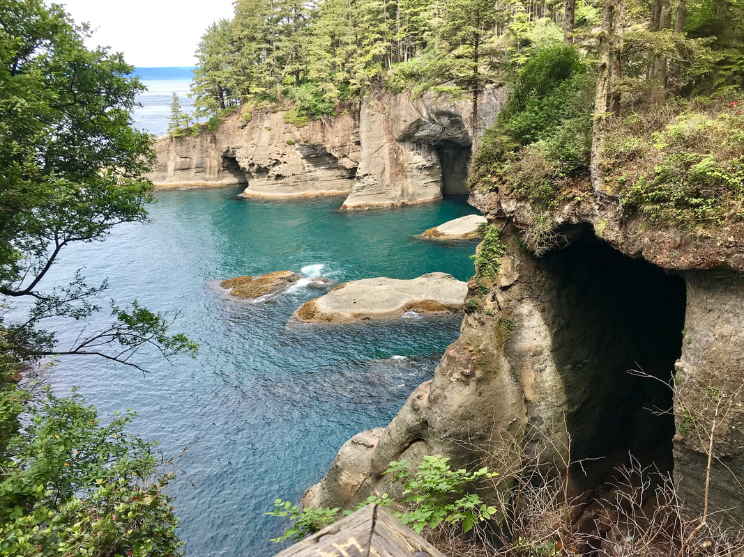 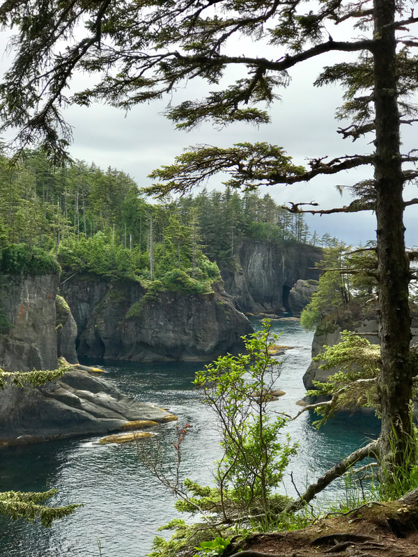 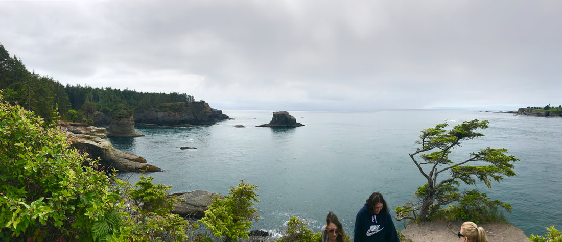 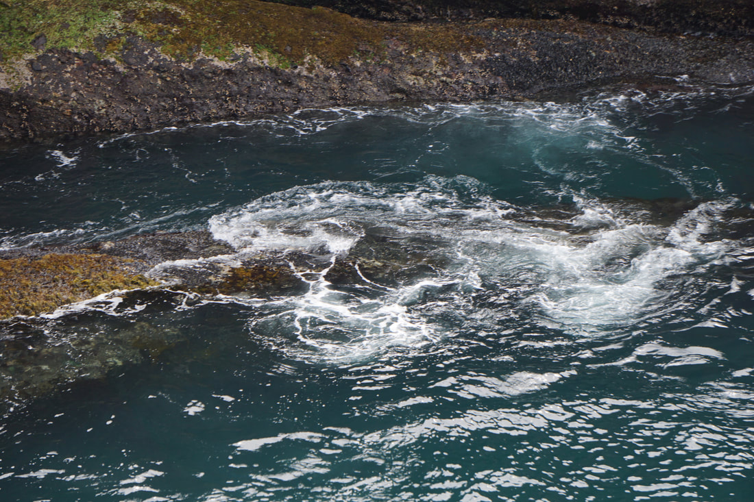 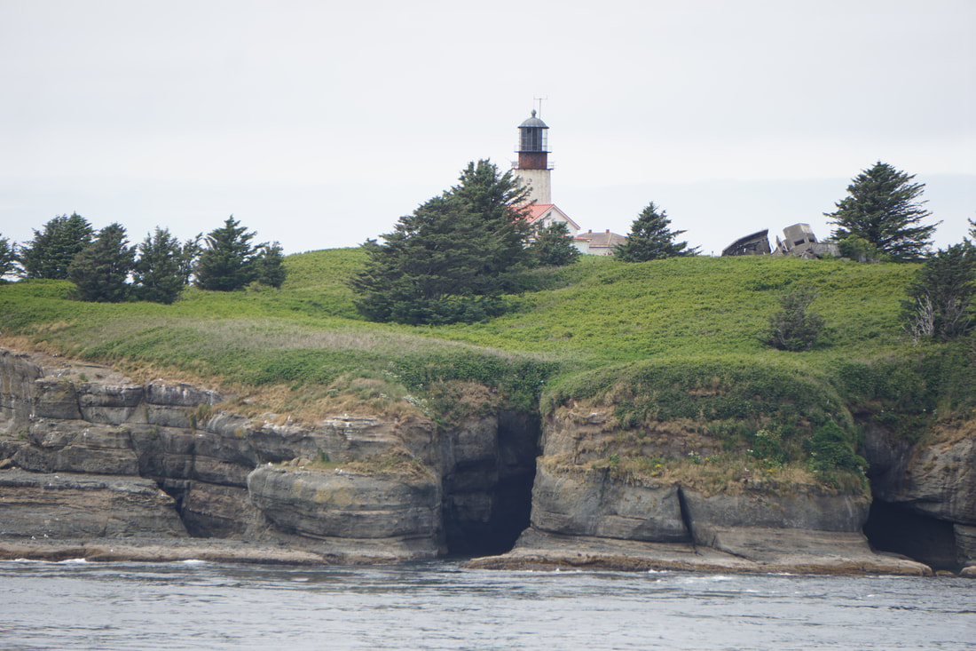 That little walk took quite a bit more time than we thought it would . . . carrying the dogs on the boardwalks . . . stepping carefully on the downhill . . . resting on the uphill . . . and drinking in and capturing the beauty on the camera! We raced the Juan De Fuca Highway back towards Port Angeles and arrived at 6:00. It was a coolish evening, and the water in the big crab pot took forever to boil. Finally, at 7:30, we sat down for a delish crab meal. Nothing else! Just the crab . . . and plenty of butter.
We went to bed at dark, with the pop, pop, pop, of fireworks in the distance and two scared-to-death doggies in our beds. Tuesday, July 2 As we went to bed last night we saw flashes of lighting, heard thunder, and finally listened to a steady tap of rain on the Silvermine. It was not heavy, but it was very constant most of the night. Our plan for the day was to go back to Paradise . . . and beyond to the Longmire area of the park in the Southwest corner. The rain had stopped for the trip up the mountain, but the fog was dense. It was hard to tell whether not being able to see the cliffs-side drop-offs due to fog was a good thing or a bad thing! Just keep it between the yellow centerline and the white sideline and follow that big camper in front of you, Tom. 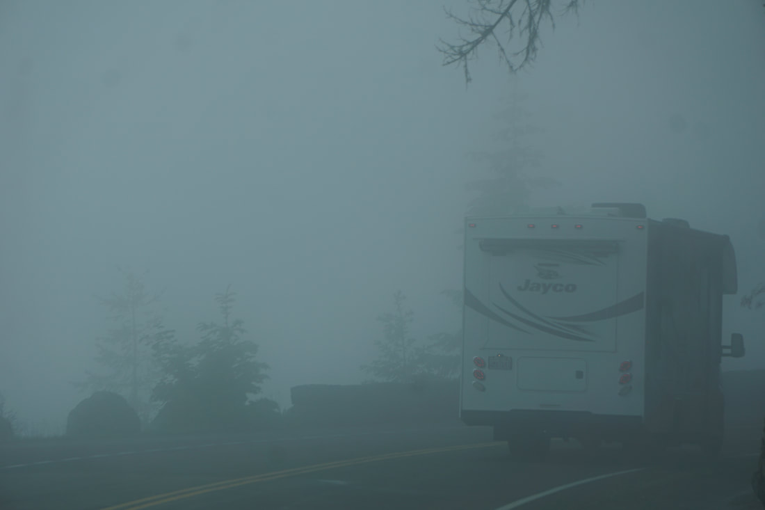 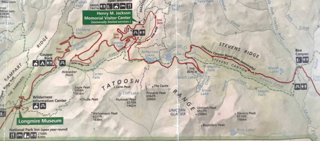 Along the way we crossed over the Nisqually River which was a large and direct drain from the Nisqually Glacier high on the mountain. It was a massive chasm with a fast-flowing stream, although at this time it was not as full of water as it could have been. 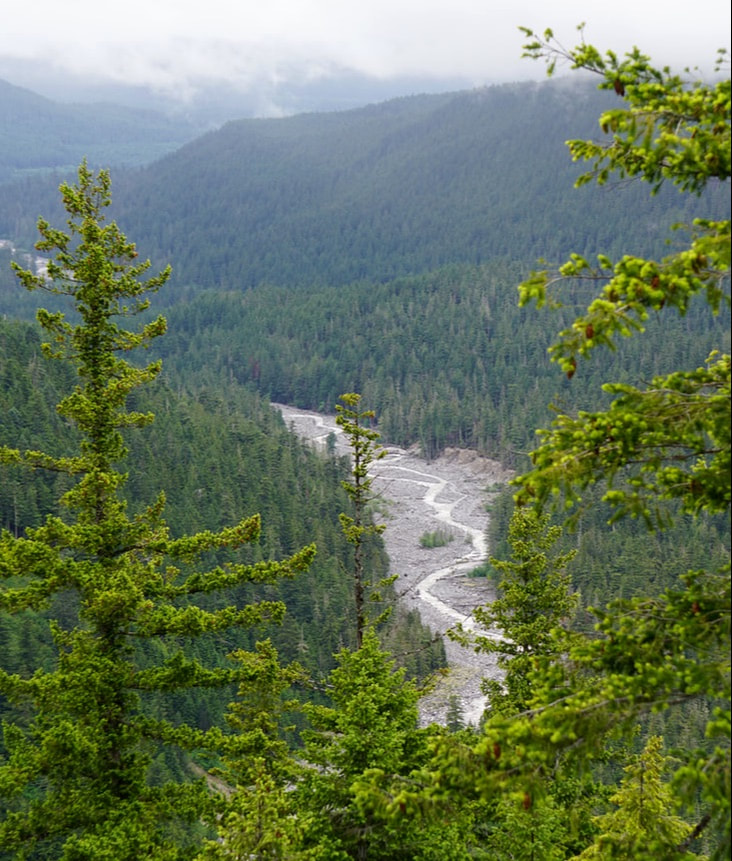 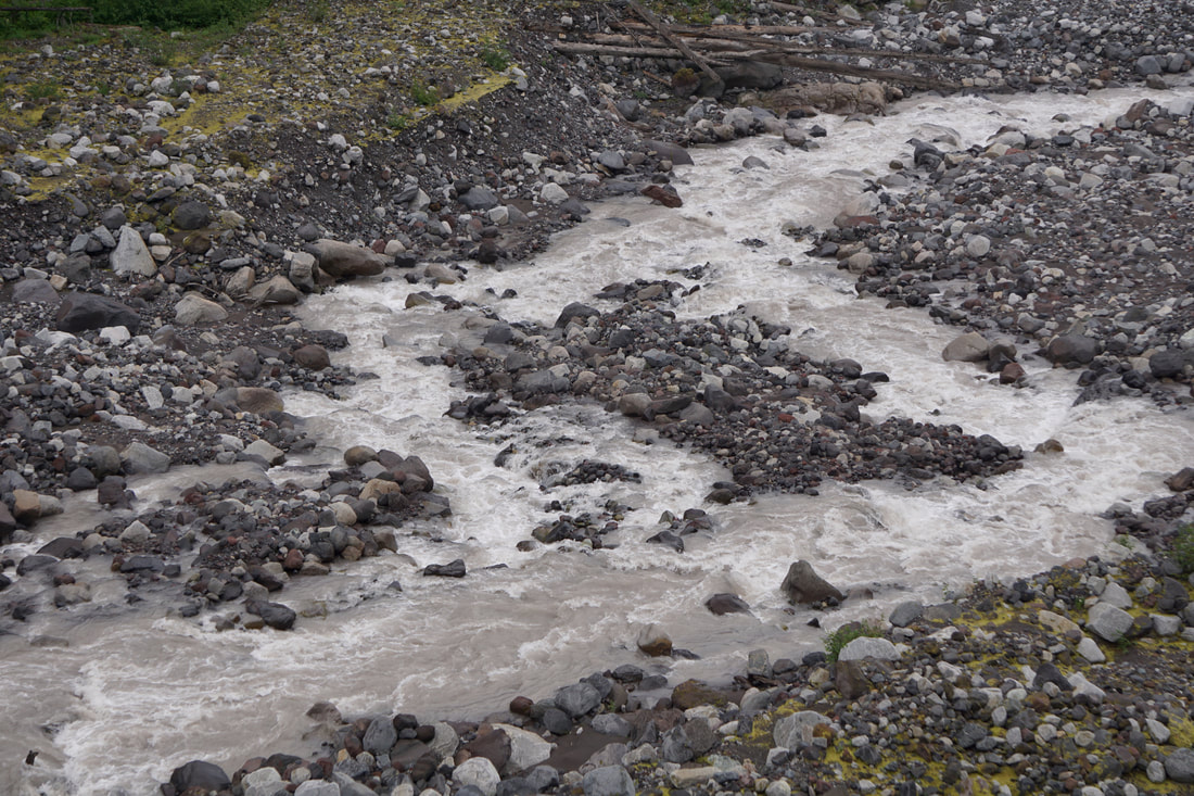 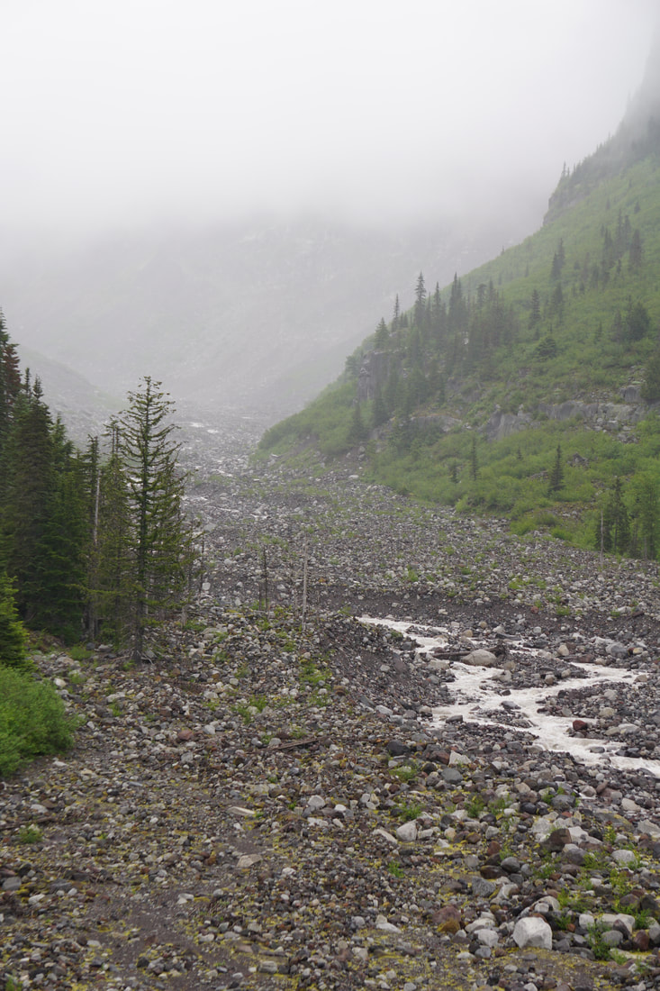 Longmire was down in a valley -- smaller trees and a denser forest. There were a lot of buildings: an old gas station, library, museum, general store, ranger station, Inn, an annex, and a lot of cabin/residences for the workers. We visited them all! The day was still overcast and we had no idea where the mountain was! We ate lunch in the Inn dining room – chili and cheese curds! 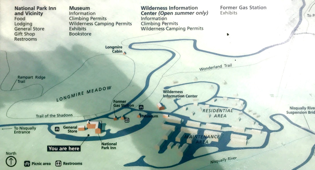 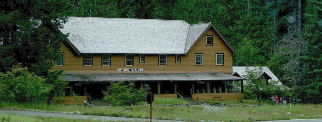 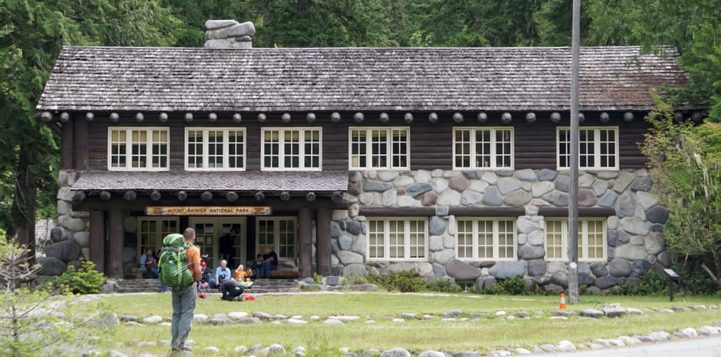 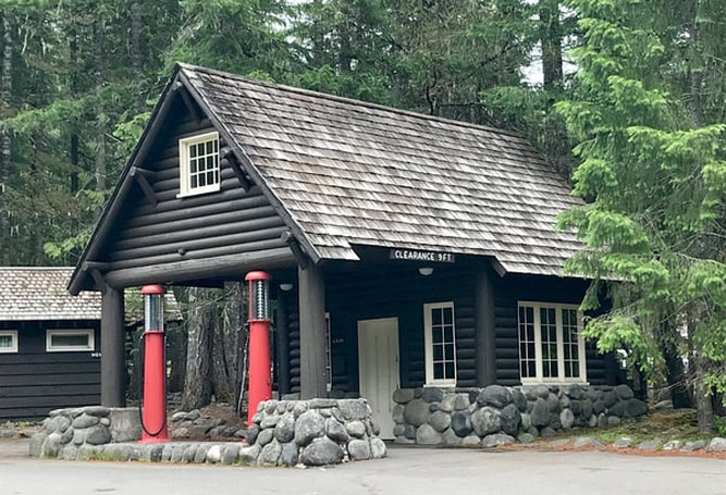 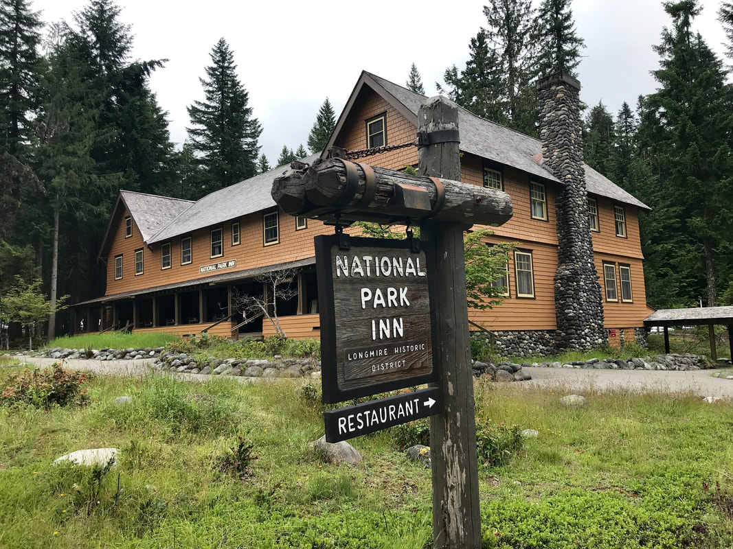 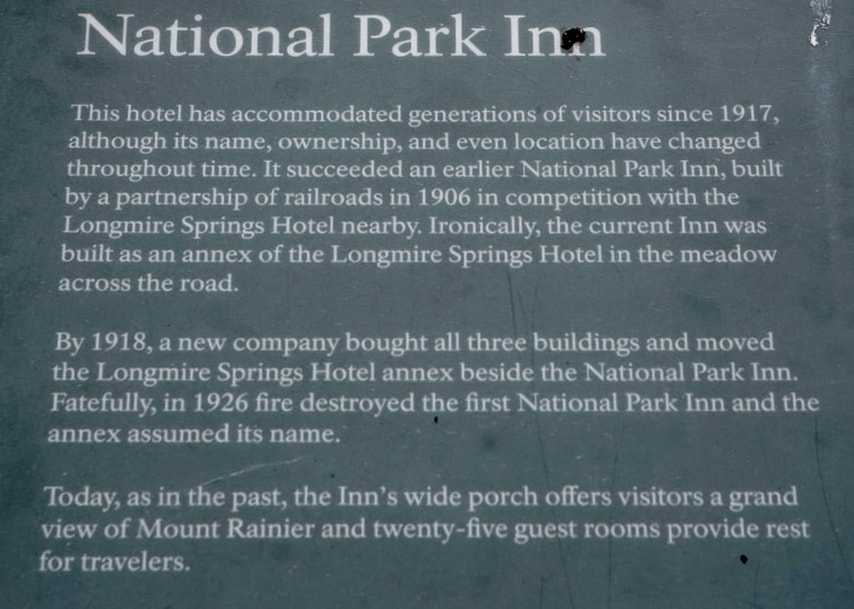 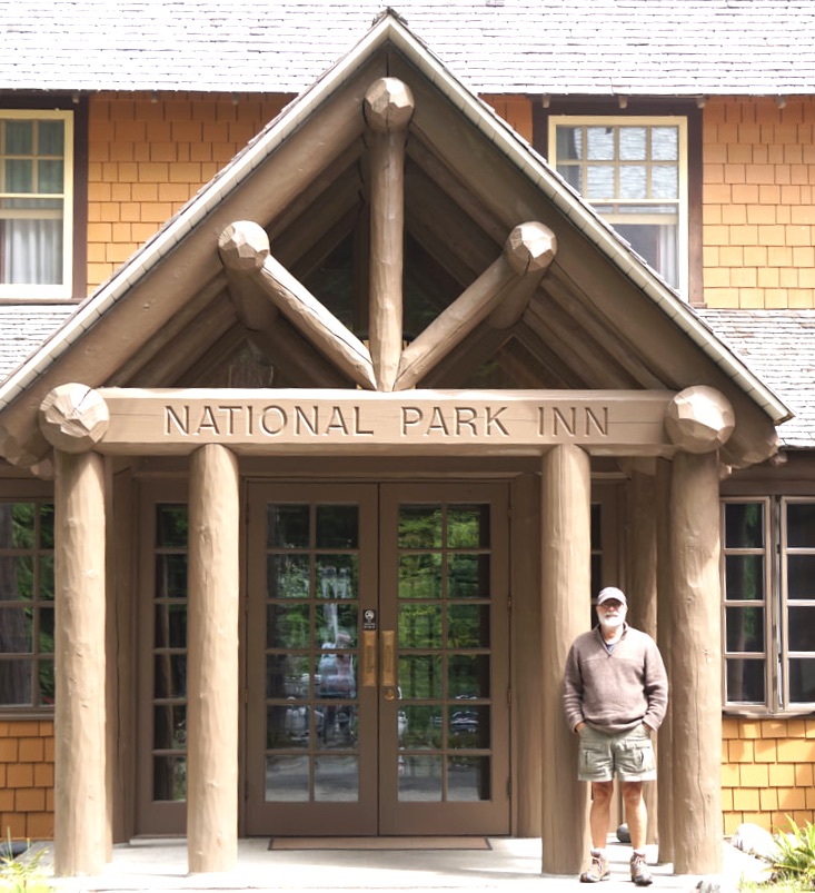 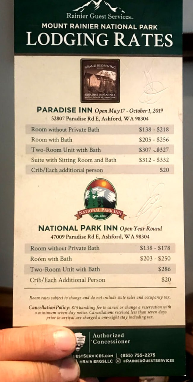    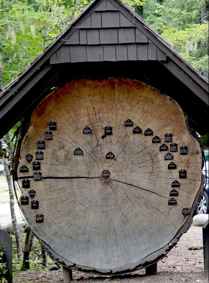 We had a choice to go back to the campground: up past Paradise and over the mountains – or drive outside of the park and take a more southern, lower elevation route. We opted for the mountain road in the National Park! The mountain was still encased in fog!  We passed by our campground for our daily run into the town of Packwood for an internet fix. I cranked out yesterday’s blog and we checked mail, made phone calls, and filled the truck with fuel. We left town rather abruptly when Tom developed a very distressed stomach . . . the chili? That continued throughout the late afternoon and evening, and we were convinced it was a case of food poisoning.
Tomorrow morning we will be leaving Rainier and heading for Olympia National Park. Monday, July 1 I have mentioned that we were camping among trees that were 1,000 years old. Today we took a hike on the Grove of the Patriarchs trail to view trees even 500 years older! At first we did not think the trees were bigger than in the campground – but the more we walked the bigger they grew. The trail was rough and stony in some places and smooth and easy in others. The trees reached 300 feet above and little sunlight came through the old forest canopy made up of Douglas Firs, Western Redcedars and Western hemlocks 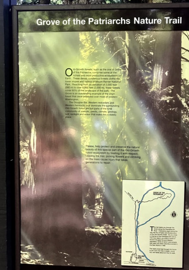 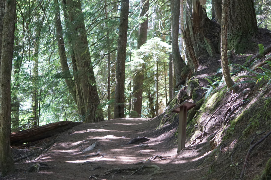 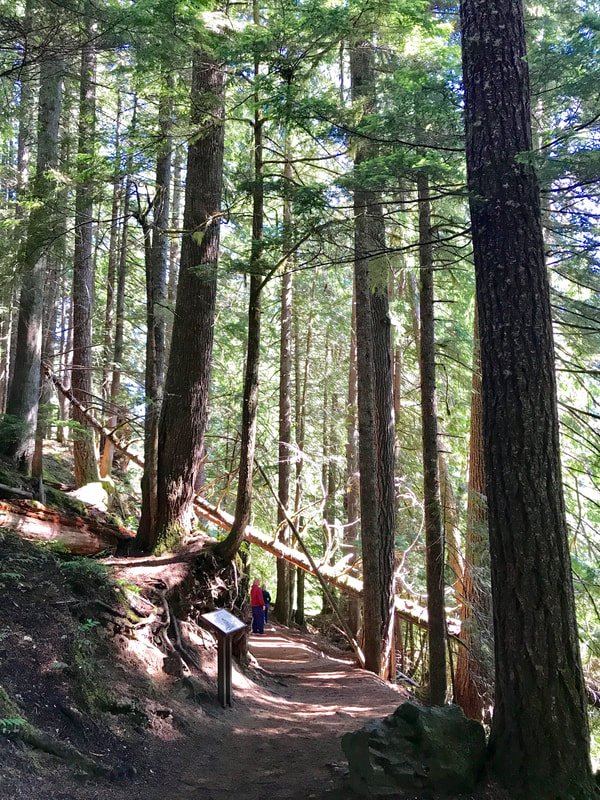 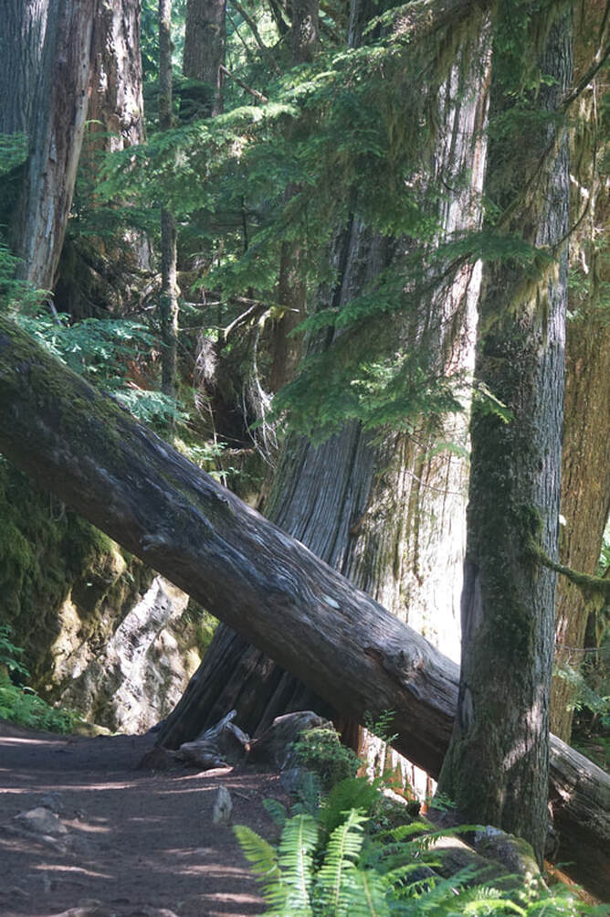  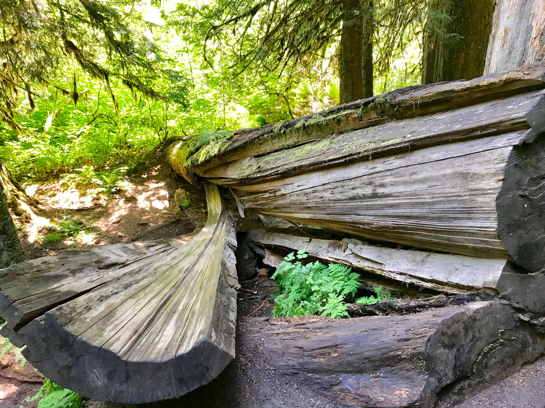 We reached a high swinging bridge over a river which cautioned one person at a time. There was a backlog plus a line-up on the other side. Some people risked crossing four at a time . . . speeding up the process! 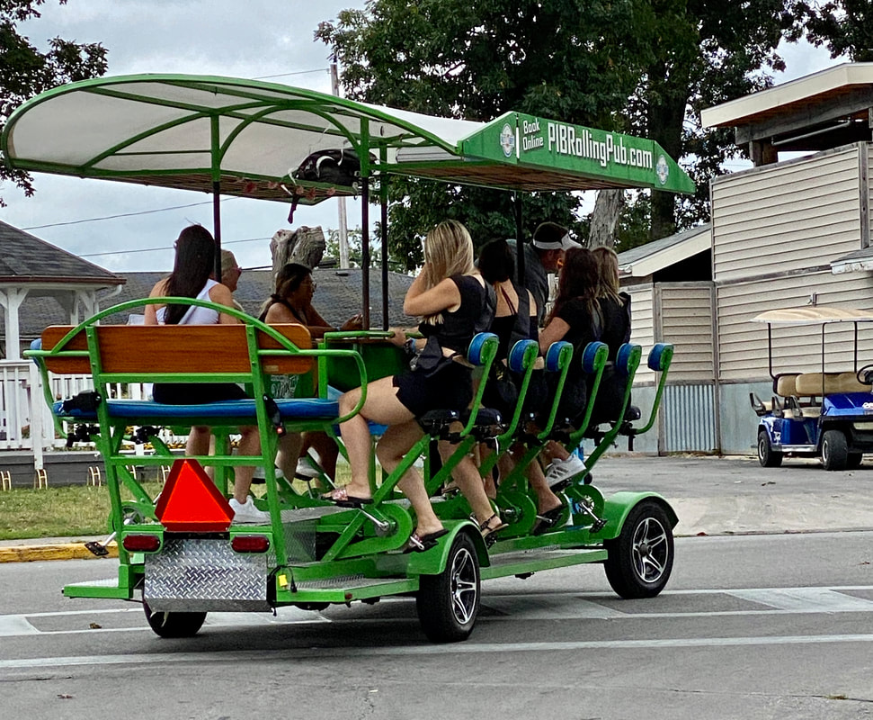 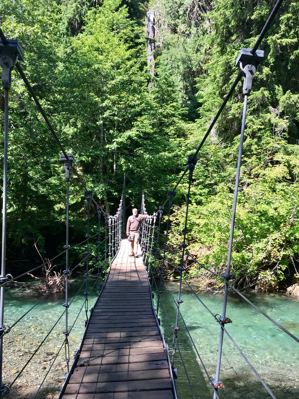 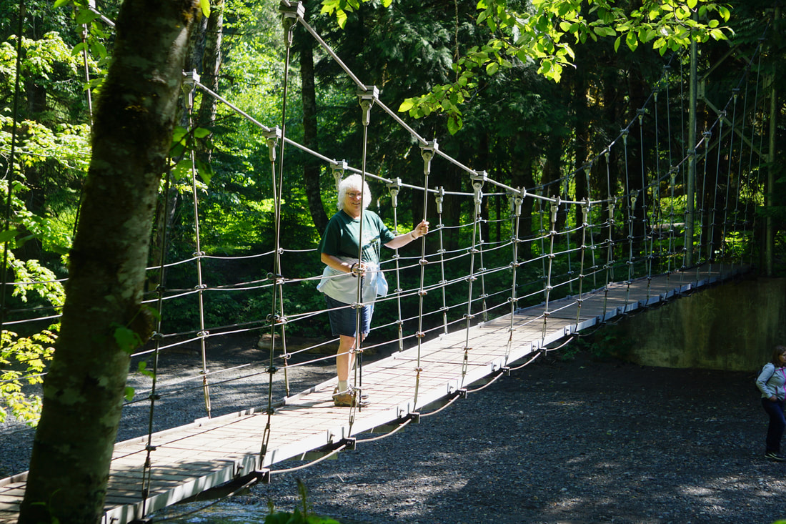 Across the river the trail leveled out and began a boardwalk loop trail. Here the trees were colossal and there were lots of stopping points for pictures as we followed the loop around. 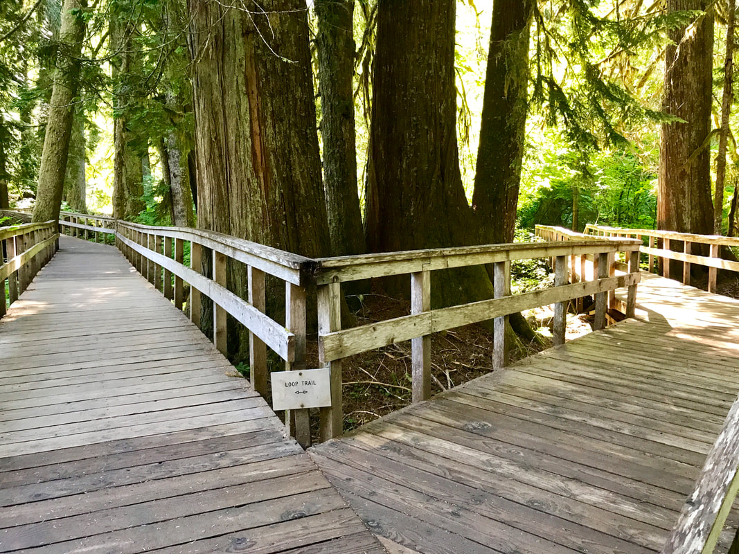 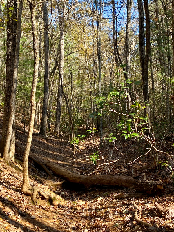 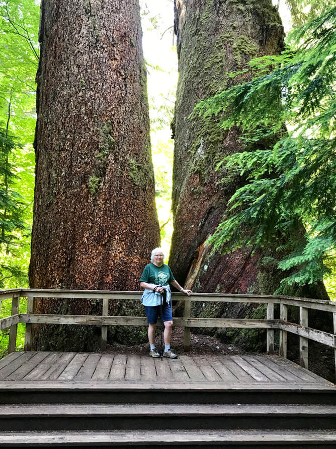 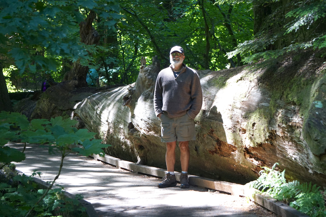 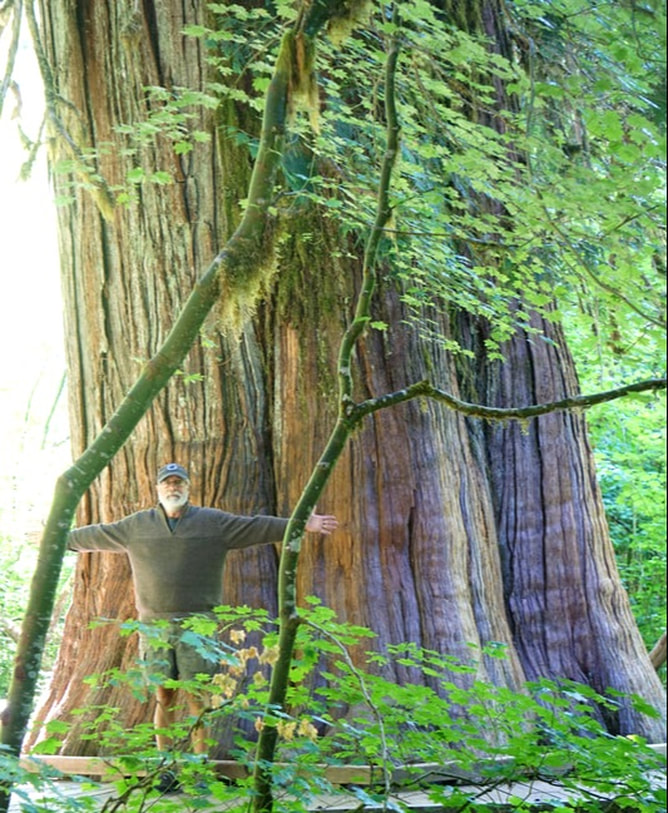 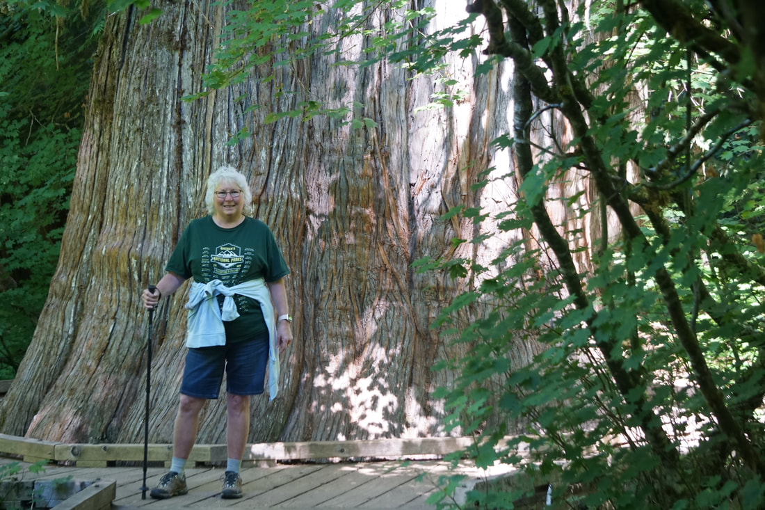 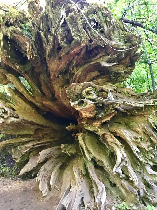 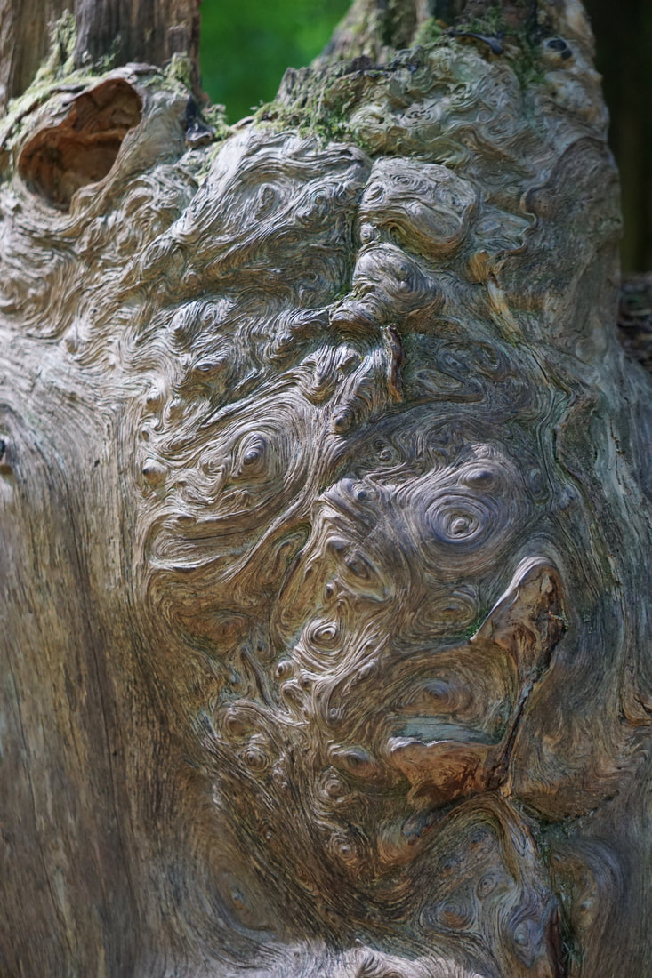 Finishing the hike, we drove back to pick up the pups and then headed for the Northeast area of the park and Sunrise Day Lodge – for totally different views of the Mountain from yesterday. Along the way, Tom couldn't resist adding a little White River glacial run-off to his water collection. It wasn't a very easy place to access! The water sample had a lot of silt, and was a murky grey color. 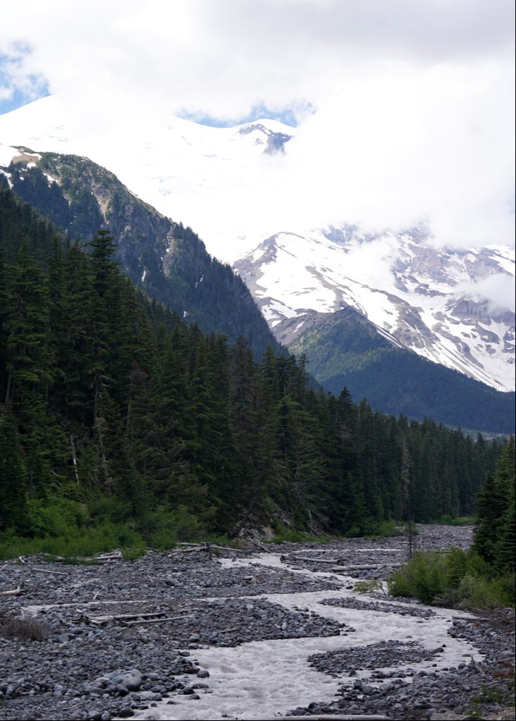 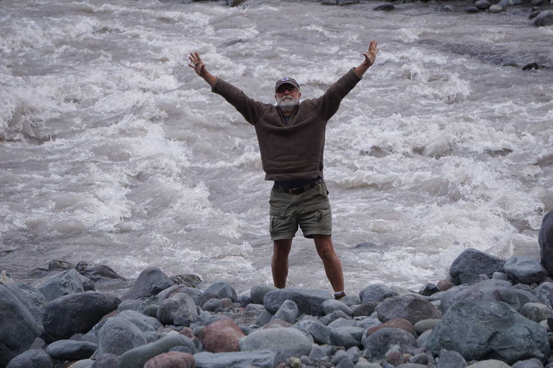 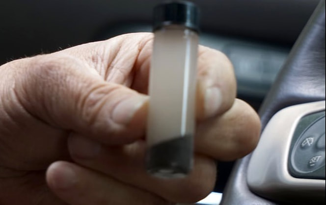 The final 10 miles of the 30-mile drive took us up, up, up – another one of those cliff-side roadways that has you holding your breath. Just before the lodge there was a large viewpoint of Sunrise Ridge – 360 degrees of views. Down in the valley there was a beautiful lake. Two miles past that was Sunrise Lodge and Visitor’s Center. 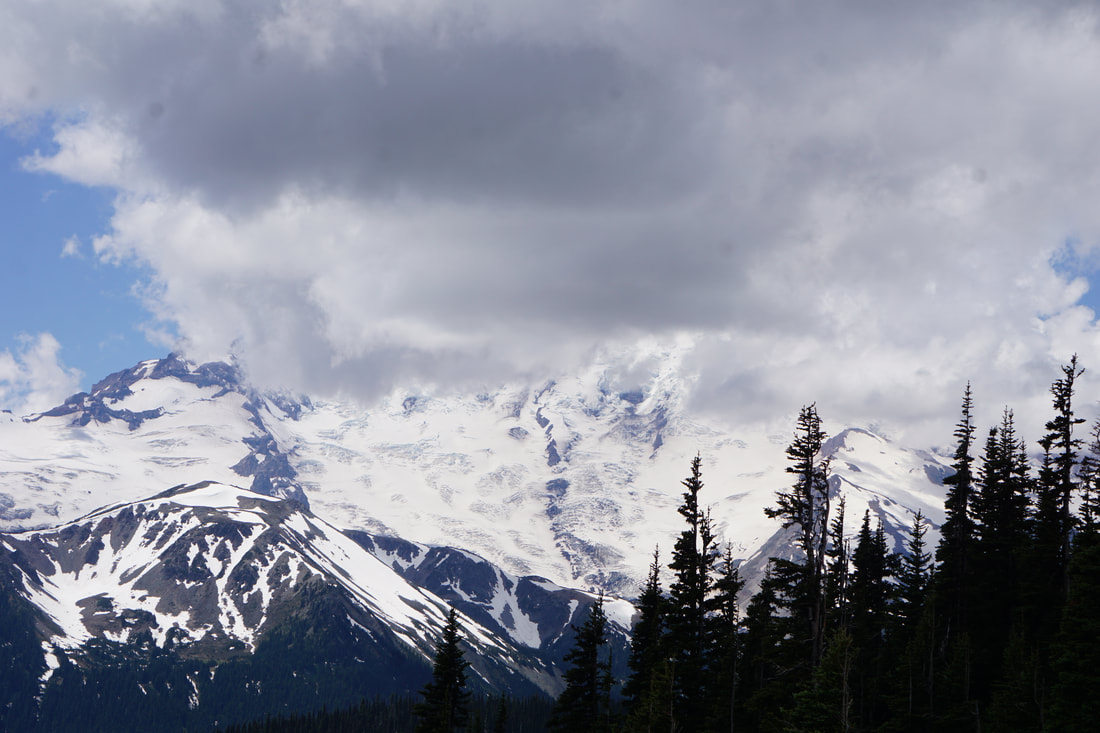 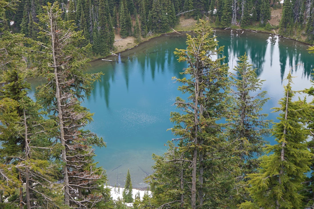 The surprise was the lovely alpine meadows that showcased the two Sunrise facilities . . . lush green meadows and wild flowers. Trails zigzagged through the meadows and we could see hikers far above. Flanking this vista .was a very massive Mt. Rainer . . . whose top was covered by clouds! 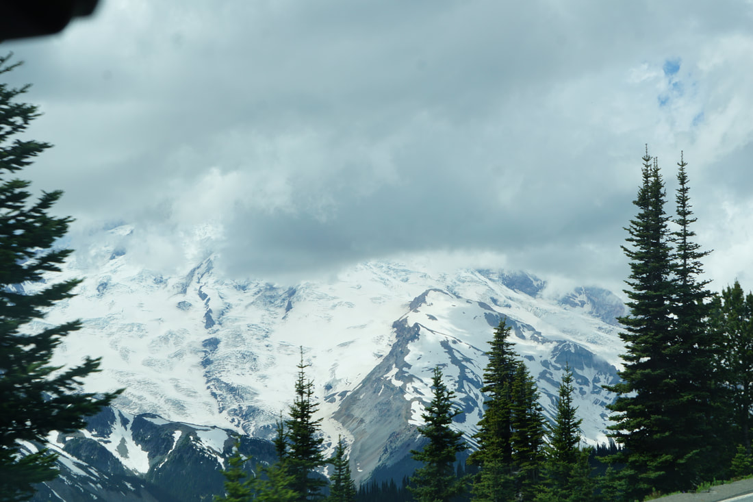 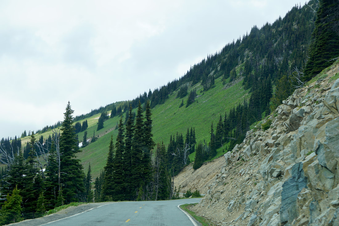 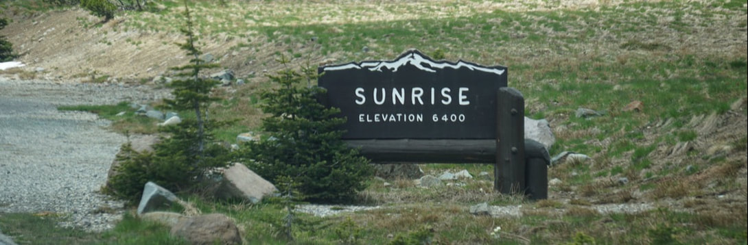 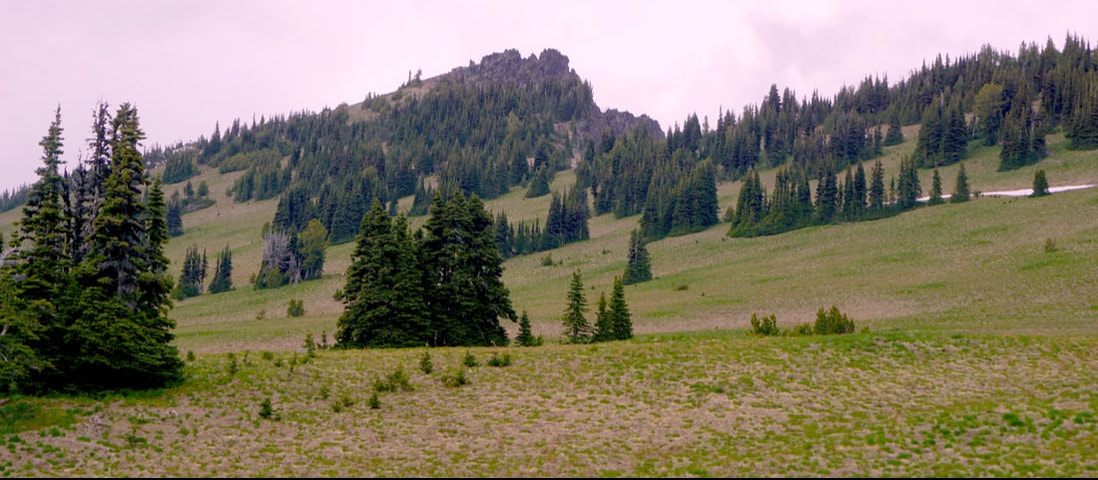 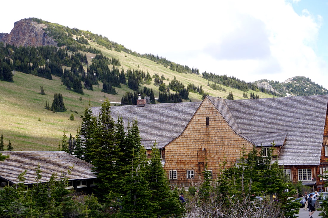 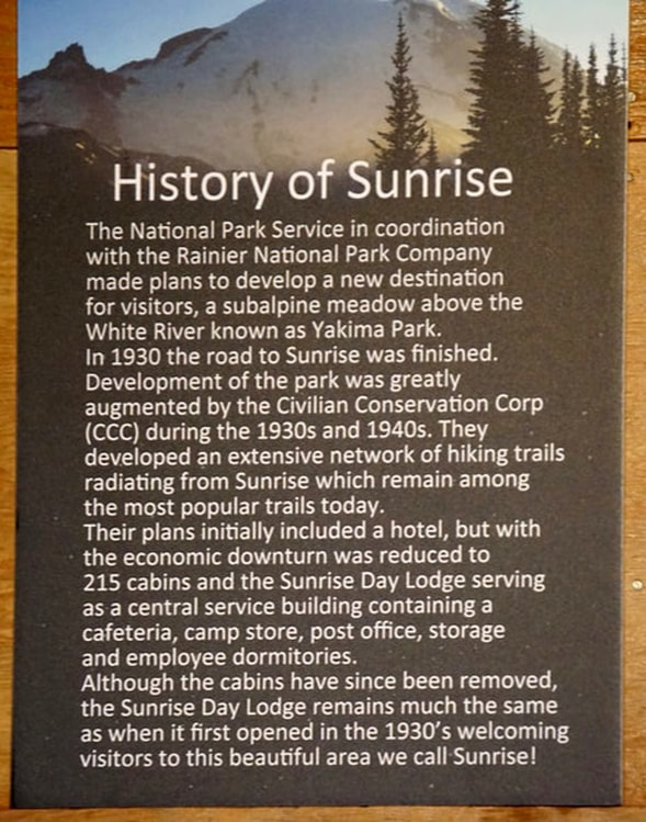  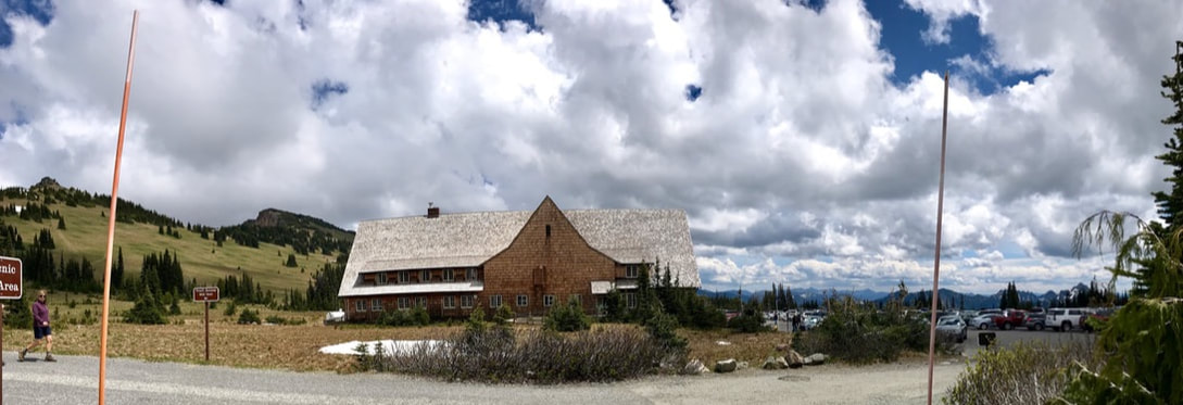 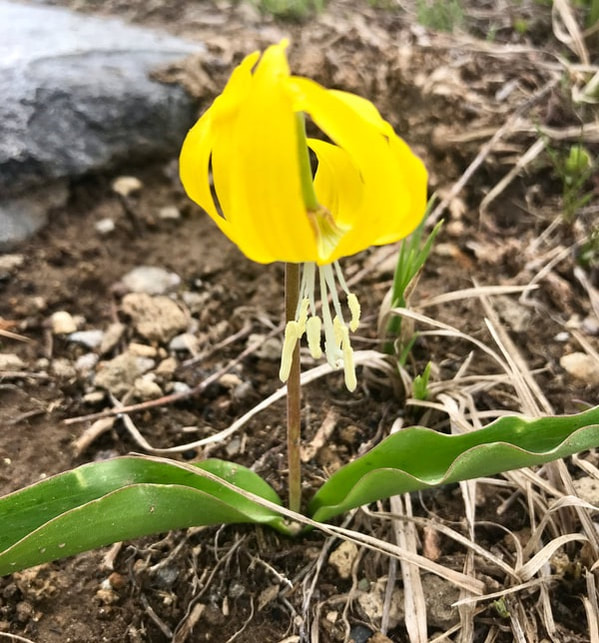 We ate at the “snack shop” in the visitor’s center; the total for two cheeseburgers and chips and drinks was $30! We would have ordered one of the big cookies for dessert, but were afraid that would take the bill over $50! We looked over the exhibits in the visitor's center and focused in on this explanation of how fire and ice work to shape the mountain. Earlier in our drive up to Sunset we had stopped to get a picture of one of these unique rock formations. 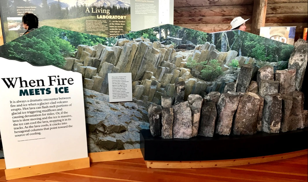 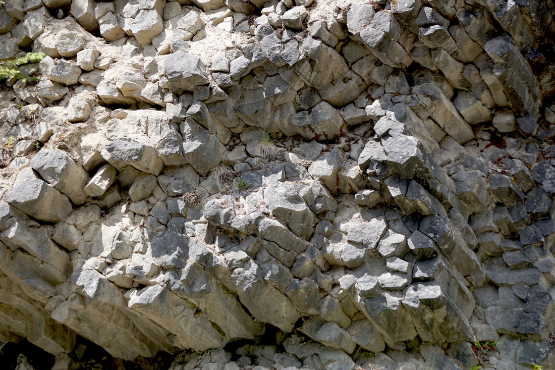 The National Park is very specific about where dogs are allowed, and we used a maintenance road to give them a little walk and break. When we saw people gathering and pointing, we put the dogs back in the car and joined them to watch a grazing bear and cub. Everything we read says she was probably a black bear . . . with a brownish color. 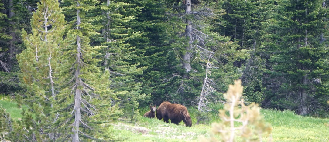 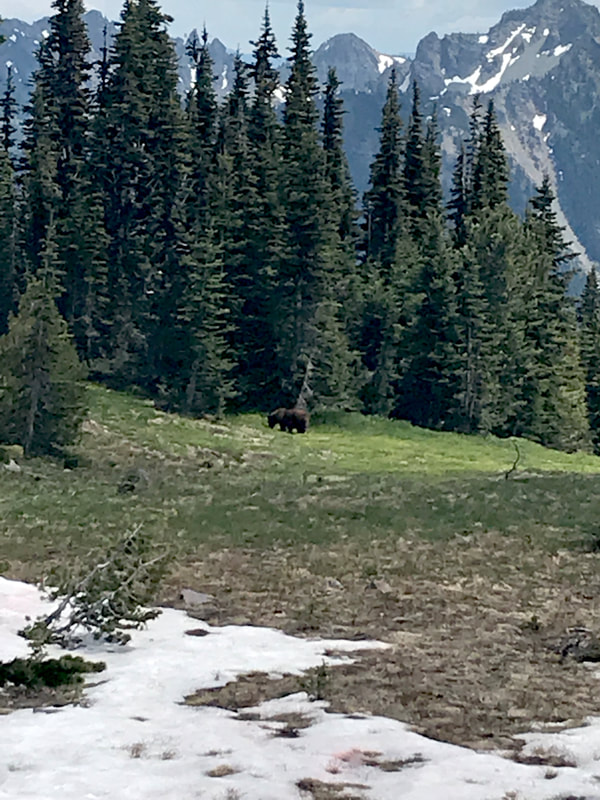 We measured the distance back down to our campground by miles, altitude, and degrees in temperature, and we were back by 3:30! Rest-time, then back into town for a phone and wifi fix! For dinner Tom cooked hotdogs on our little Bio-Lite grill, and I made macarroni and cheese to go with! 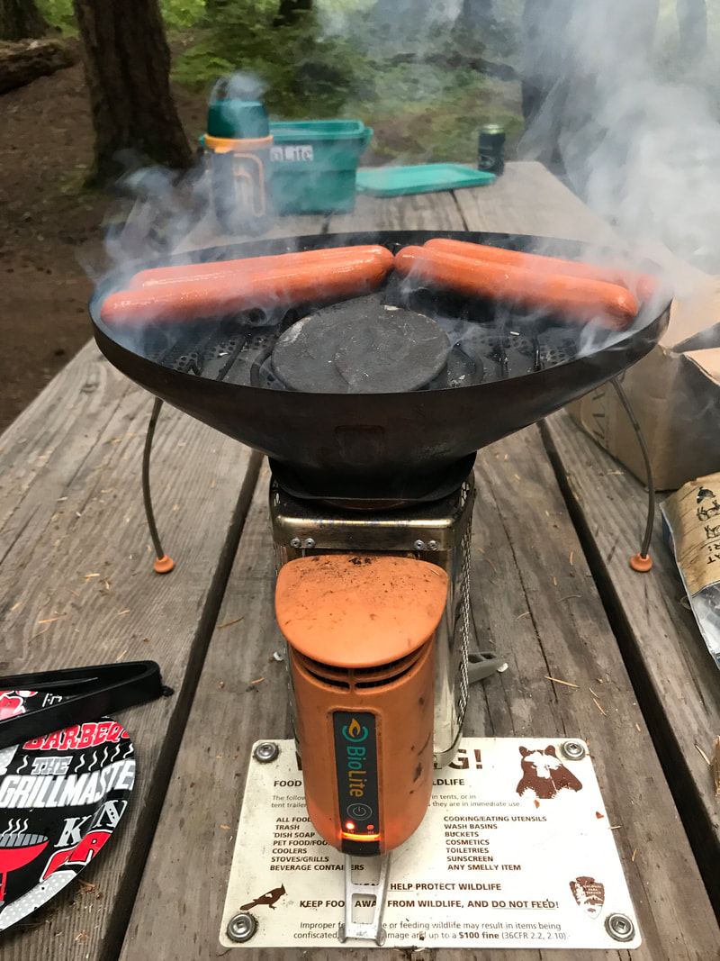 |
